Large airport · Bangladesh

Hazrat Shahjalal International AirportVGHS
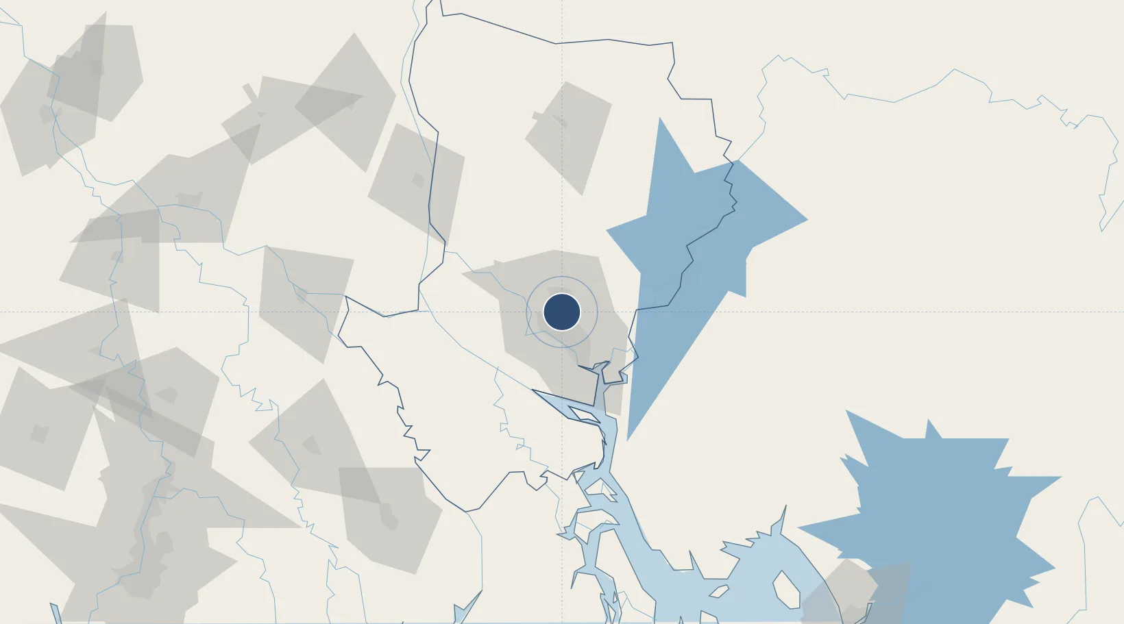
23.8433°, 90.3978°
11,500 ft
Longest runway
1
Runways
30 ft
Elevation

Runway & Layout

Hazrat Shahjalal International Airport runway & taxiway layout
Runway & taxiway layout — OpenStreetMap (ODbL) / OurAirports

Radio Frequencies

ATIS
127.4 MHz
DHAKA ATIS
TWR
118.3 MHz
DHAKA TWR
GND
121.8 MHz
DHAKA GND
APP
121.3 MHz
DHAKA APP
RDO
294.7 MHz
DHAKA RDO
OurAirports

Navaids

DAC VOR-DME Dhaka 112.70 MHz
DCN NDB Dhaka 298 kHz
OurAirports

Runways · 1

RunwayDimensions SurfaceTrue headingLit
14/32 11,500 × 150ft Asphalt / concrete 144°
OurAirports

Airport Specifications

IATA code
DAC
OurAirports
ICAO code
VGHS
OurAirports
Airport class
Large airport
OurAirports
Scheduled service
Yes
OurAirports
Runway surface
Asphalt / concrete
OurAirports
Served city
Dhaka
OurAirports

Location

Location of VGHS
Natural Earth 10m (public domain) · Dhaka · VGHS · 23.84, 90.40GoogleOSMYandex

Nearby Logistics Neighbours

Airports
  1. 1Agartala - Maharaja Bir Bikram Airport86 km
  2. 2Barisal Airport116 km
  3. 3Ishurdi Airport141 km
  4. 4Jessore Airport146 km
  5. 5Kailashahar Airport171 km
Nearest neighbours — logibook spatial index (haversine) over the source coordinates
Cities
  1. 1Tejgaon9 km
  2. 2Savar15 km
  3. 3Pangaon22 km
  4. 4Munshiganj32 km
  5. 5Panchashar33 km
Nearest neighbours — logibook spatial index (haversine) over the source coordinates
Ports
  1. 1Mongla174 km
  2. 2Chittagong223 km
  3. 3Calcutta255 km
  4. 4Haldia Port312 km
  5. 5Sittwe487 km
Nearest neighbours — logibook spatial index (haversine) over the source coordinates
Trade Zones
  1. 1Bashundhara Economic Zone5 km
  2. 2United City It Park Ltd. Dhaka5 km
  3. 3A.K.Khan And Comapny Ltd. Economic Zone7 km
  4. 4East-Coast Group Economic Zone8 km
  5. 5Arisha Economic Zone13 km
Nearest neighbours — logibook spatial index (haversine) over the source coordinates
DatabookThe Record of Consolidated Knowledge
Bangladesh beyond logistics?
Browse databook

All Sources

AirportsOurAirports
Public domain
Portsthe NGA World Port Index
Public domain (US gov)
LocationsUN/LOCODE
UN/LOCODE — free
Trade Zonesthe World Bank SEZ database
CC BY 4.0
Trade ZonesOpen Zone Map
CC BY
InfrastructureOpenStreetMap
ODbL 1.0
← Bangladesh airports