Diversified Zone · Bangladesh

Narsingdi Economic Zone Under Development
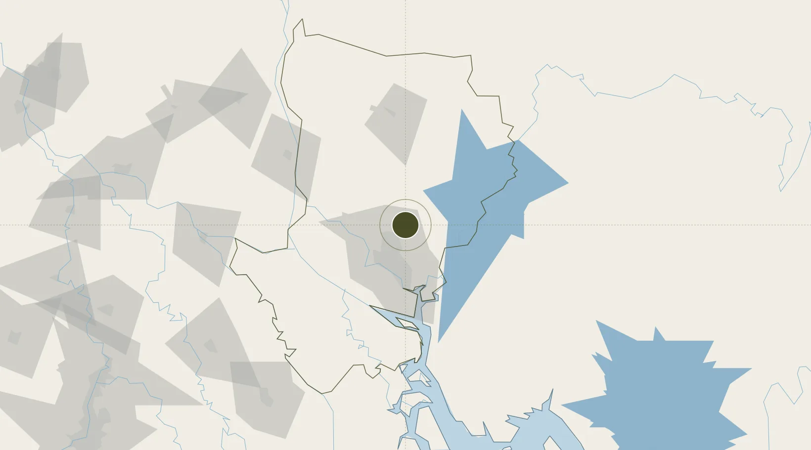
24.0091°, 90.4943°
80 ha
Zone area
194.3 km
Nearest port
20.9 km
Nearest airport

Gateway access

Nearest neighbours — logibook spatial index (haversine) over the source coordinates

Zone profile

Zone type
Diversified Zone
Open Zone Map
Region
Dhaka
Open Zone Map
Status
Under Development
Open Zone Map
Management
Public
Open Zone Map
Operator
Bangladesh Economic Zones Authority
Open Zone Map
Legal framework
Bangladesh Economic Zones Act: 2010, Amendment of Bangladesh Economic Zones Act-2015:
Open Zone Map

Location

Location of ozm-92
Natural Earth 10m (public domain) · Dhaka · ozm-92 · 24.01, 90.49GoogleOSMYandex

Nearby Logistics Neighbours

Ports
  1. 1Mongla194 km
  2. 2Chittagong232 km
  3. 3Calcutta274 km
  4. 4Haldia Port332 km
  5. 5Sittwe497 km
Nearest neighbours — logibook spatial index (haversine) over the source coordinates
Airports
  1. 1Hazrat Shahjalal International Airport21 km
  2. 2Agartala - Maharaja Bir Bikram Airport77 km
  3. 3Barisal Airport136 km
  4. 4Ishurdi Airport148 km
  5. 5Kailashahar Airport157 km
Nearest neighbours — logibook spatial index (haversine) over the source coordinates
Cities
  1. 1Narsingdi25 km
  2. 2Tejgaon29 km
  3. 3Savar32 km
  4. 4Pangaon40 km
  5. 5Munshiganj49 km
Nearest neighbours — logibook spatial index (haversine) over the source coordinates
Trade Zones
  1. 1Bay Economic Zone19 km
  2. 2Bashundhara Economic Zone22 km
  3. 3Sreepur Economic Zone23 km
  4. 4Japanese Economic Zone (Araihazar)23 km
  5. 5Dhaka Export Processing Zone24 km
Nearest neighbours — logibook spatial index (haversine) over the source coordinates
DatabookThe Record of Consolidated Knowledge
Bangladesh beyond logistics?
Browse databook

All Sources

Trade ZonesOpen Zone Map
CC BY
Portsthe NGA World Port Index
Public domain (US gov)
AirportsOurAirports
Public domain
LocationsUN/LOCODE
UN/LOCODE — free
← Bangladesh trade zones