UN/LOCODE hub · Bangladesh
BDMUN
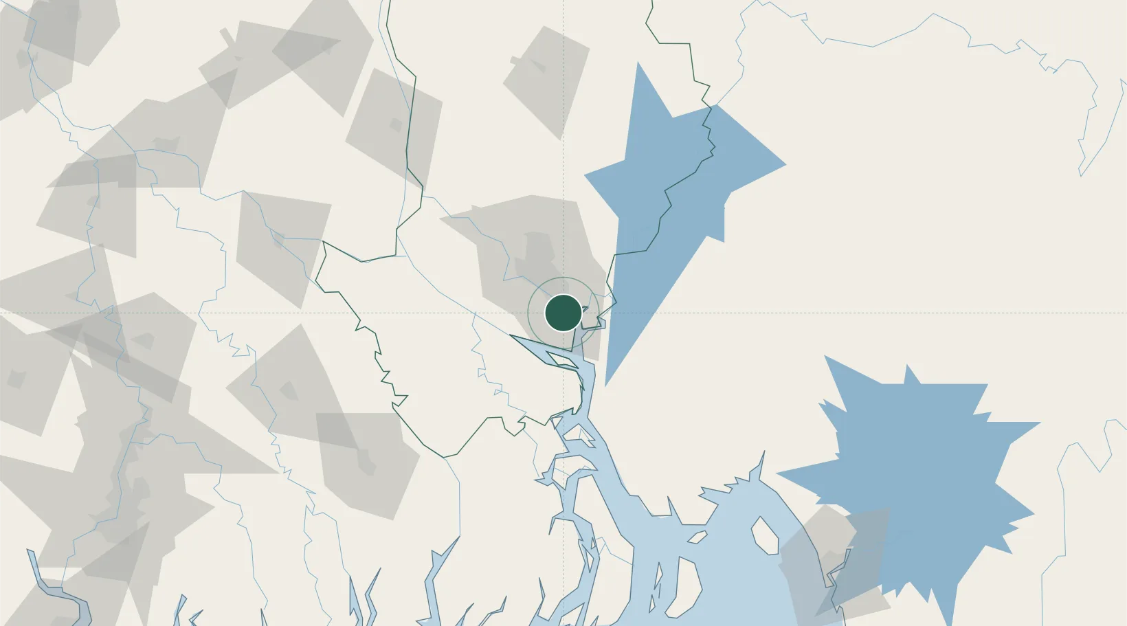
Munshiganj
23.5720°, 90.5123°
1
Transport functions
1
Container terminals
Transport Functions
Port
Hub Profile
Place type
Populated place
Region
Dhaka Division
Time zone
Asia/Dhaka
Elevation
11 m
Logistics facilities
2
Container terminals
1
Location
Nearby Logistics Neighbours
Cities
- 1Narayanganj0 km
- 2Panchashar1 km
- 3Pangaon11 km
- 4Tejgaon25 km
- 5Savar40 km
Ports
- 1Mongla154 km
- 2Chittagong193 km
- 3Calcutta250 km
- 4Haldia Port303 km
- 5Sittwe455 km
Airports
- 1Hazrat Shahjalal International Airport32 km
- 2Agartala - Maharaja Bir Bikram Airport82 km
- 3Barisal Airport88 km
- 4Jessore Airport145 km
- 5Ishurdi Airport162 km
Trade Zones
DatabookThe Record of Consolidated Knowledge
Bangladesh beyond logistics?