Specialized Zone · Bangladesh

United City It Park Ltd. Dhaka Under Development

23.8019°, 90.4182°
1 ha
Zone area
170.4 km
Nearest port
5.1 km
Nearest airport

Gateway access

Nearest neighbours — logibook spatial index (haversine) over the source coordinates

Zone profile

Zone type
Specialized Zone
Open Zone Map
Specialization
Tech
Open Zone Map
Region
Dhaka
Open Zone Map
Status
Under Development
Open Zone Map
Management
Private
Open Zone Map
Operator
United Group of Industries Ltd.
Open Zone Map
Legal framework
Bangladesh Economic Zones Act: 2010. Bangladesh Private Economic Zones Policy: 2015.
Open Zone Map

Location

Location of ozm-159
Natural Earth 10m (public domain) · Dhaka · ozm-159 · 23.80, 90.42GoogleOSMYandex

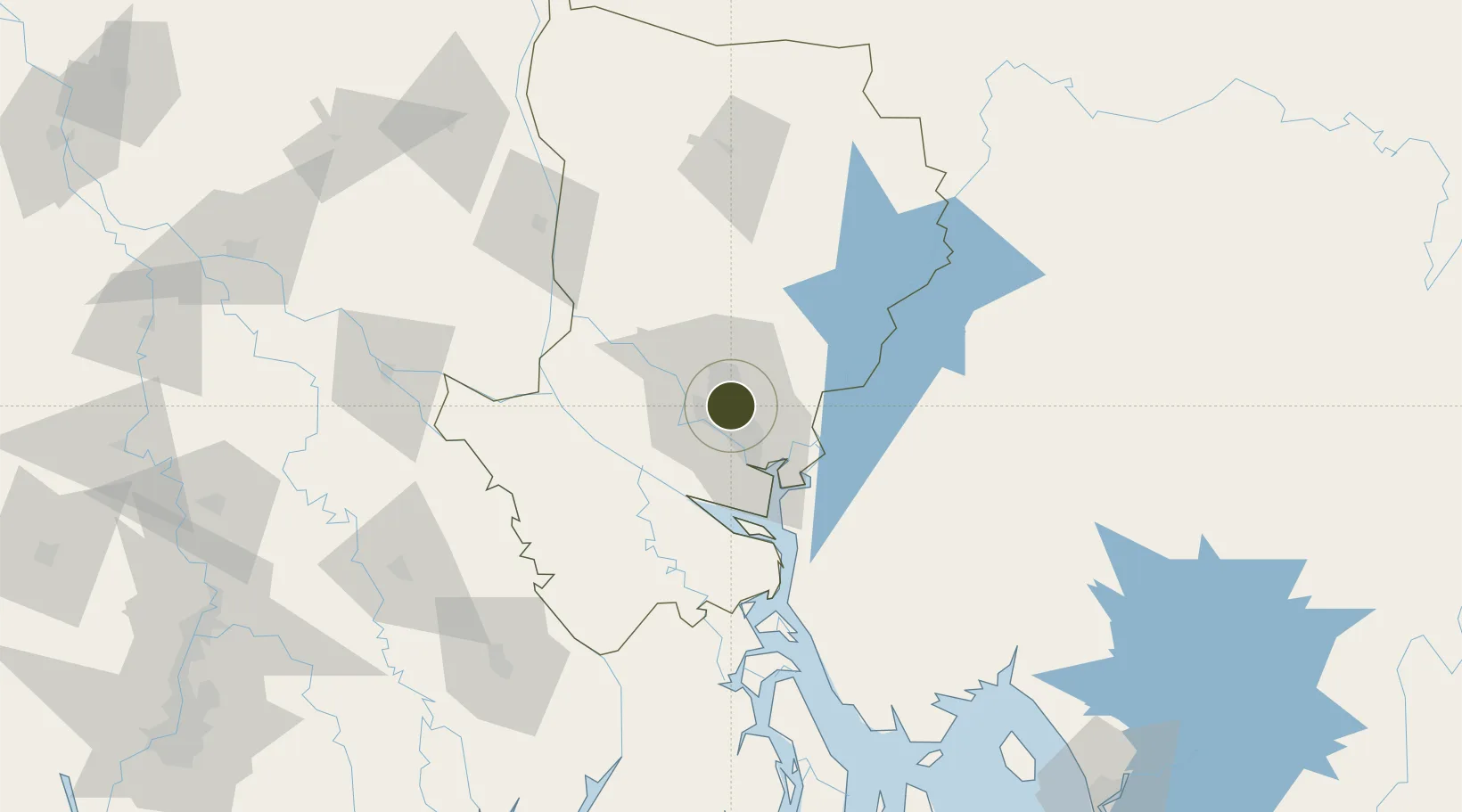
Nearby Logistics Neighbours

Ports
  1. 1Mongla170 km
  2. 2Chittagong219 km
  3. 3Calcutta255 km
  4. 4Haldia Port311 km
  5. 5Sittwe482 km
Nearest neighbours — logibook spatial index (haversine) over the source coordinates
Airports
  1. 1Hazrat Shahjalal International Airport5 km
  2. 2Agartala - Maharaja Bir Bikram Airport84 km
  3. 3Barisal Airport112 km
  4. 4Ishurdi Airport144 km
  5. 5Jessore Airport146 km
Nearest neighbours — logibook spatial index (haversine) over the source coordinates
Cities
  1. 1Tejgaon4 km
  2. 2Pangaon17 km
  3. 3Savar18 km
  4. 4Munshiganj27 km
  5. 5Panchashar27 km
Nearest neighbours — logibook spatial index (haversine) over the source coordinates
Trade Zones
  1. 1A.K.Khan And Comapny Ltd. Economic Zone2 km
  2. 2Bashundhara Economic Zone3 km
  3. 3East-Coast Group Economic Zone3 km
  4. 4Arisha Economic Zone11 km
  5. 5Manikganj Economic Zone11 km
Nearest neighbours — logibook spatial index (haversine) over the source coordinates
DatabookThe Record of Consolidated Knowledge
Bangladesh beyond logistics?
Browse databook

All Sources

Trade ZonesOpen Zone Map
CC BY
Portsthe NGA World Port Index
Public domain (US gov)
AirportsOurAirports
Public domain
LocationsUN/LOCODE
UN/LOCODE — free
← Bangladesh trade zones