Transport Functions
Multimodal
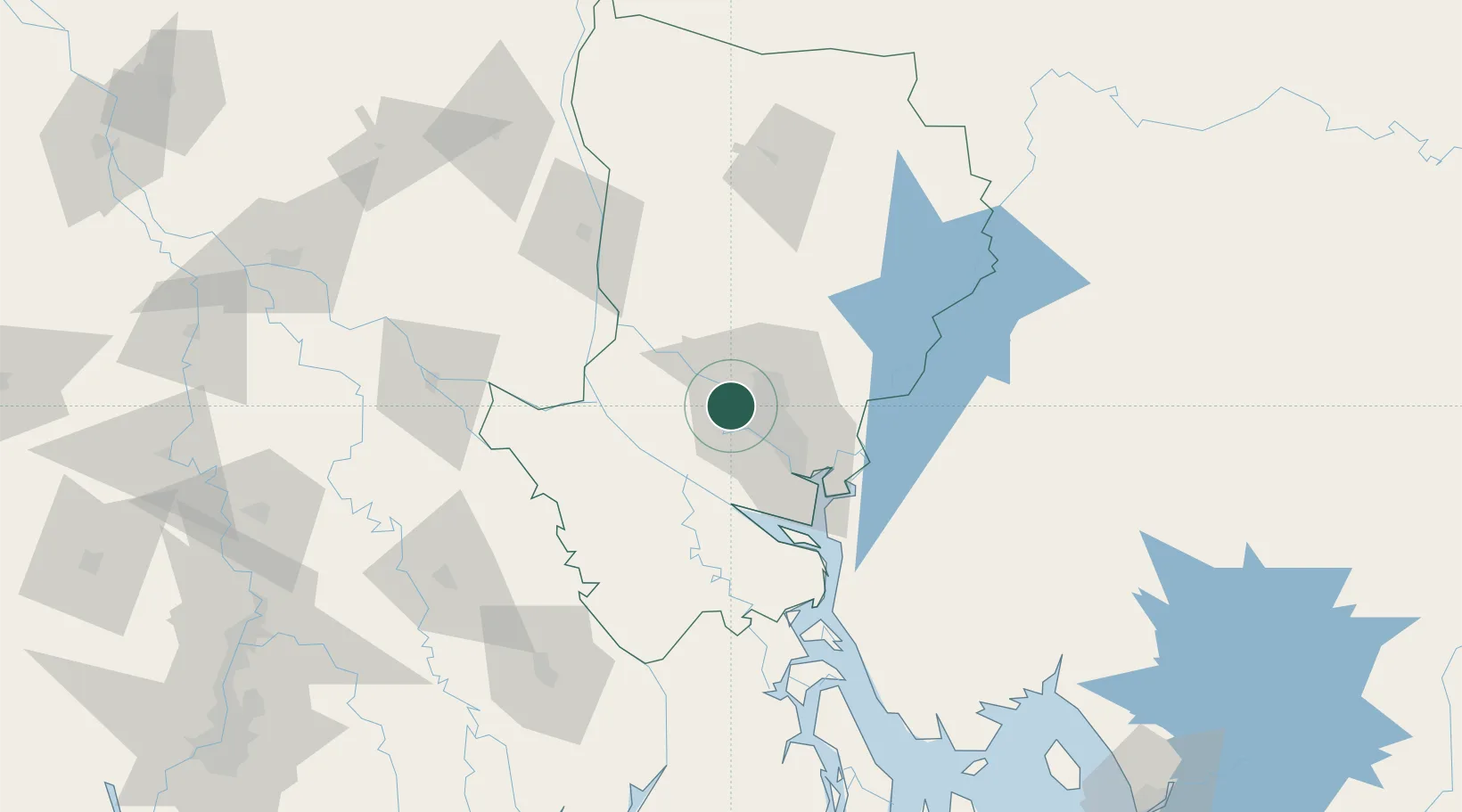
Hub Profile
Place type
Populated place
Region
Dhaka Division
Population
286,008
Time zone
Asia/Dhaka
Elevation
10 m
Location
Nearby Logistics Neighbours
Cities
- 1Tejgaon17 km
- 2Pangaon29 km
- 3Panchashar39 km
- 4Munshiganj40 km
- 5Narayanganj40 km
Ports
- 1Mongla166 km
- 2Chittagong233 km
- 3Calcutta242 km
- 4Haldia Port300 km
- 5Dhamra476 km
Airports
- 1Hazrat Shahjalal International Airport15 km
- 2Agartala - Maharaja Bir Bikram Airport101 km
- 3Barisal Airport115 km
- 4Ishurdi Airport127 km
- 5Jessore Airport133 km
Trade Zones
DatabookThe Record of Consolidated Knowledge
Bangladesh beyond logistics?