Medium airport · Bangladesh
Ishurdi AirportVGIS
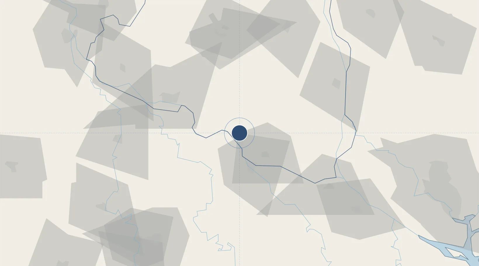
24.1525°, 89.0494°
4,700 ft
Longest runway
1
Runways
45 ft
Elevation
Runway & Layout

Radio Frequencies
TWR
122.9 MHz
Navaids
IS NDB Ishurdi 350 kHz
Runways · 1
| Runway | Dimensions | Surface | True heading | Lit |
|---|---|---|---|---|
| 15/33 | 4,700 × 80ft | Concrete | 154° | — |
Airport Specifications
IATA code
IRD
ICAO code
VGIS
Airport class
Medium airport
Scheduled service
No
Runway surface
Concrete
Served city
Ishurdi
Location
Nearby Logistics Neighbours
Airports
Ports
- 1Calcutta193 km
- 2Mongla196 km
- 3Haldia Port257 km
- 4Chittagong349 km
- 5Dhamra428 km
Trade Zones
DatabookThe Record of Consolidated Knowledge
Bangladesh beyond logistics?