Diversified Zone · China

Longtan Urban Industrial Development Zone Active
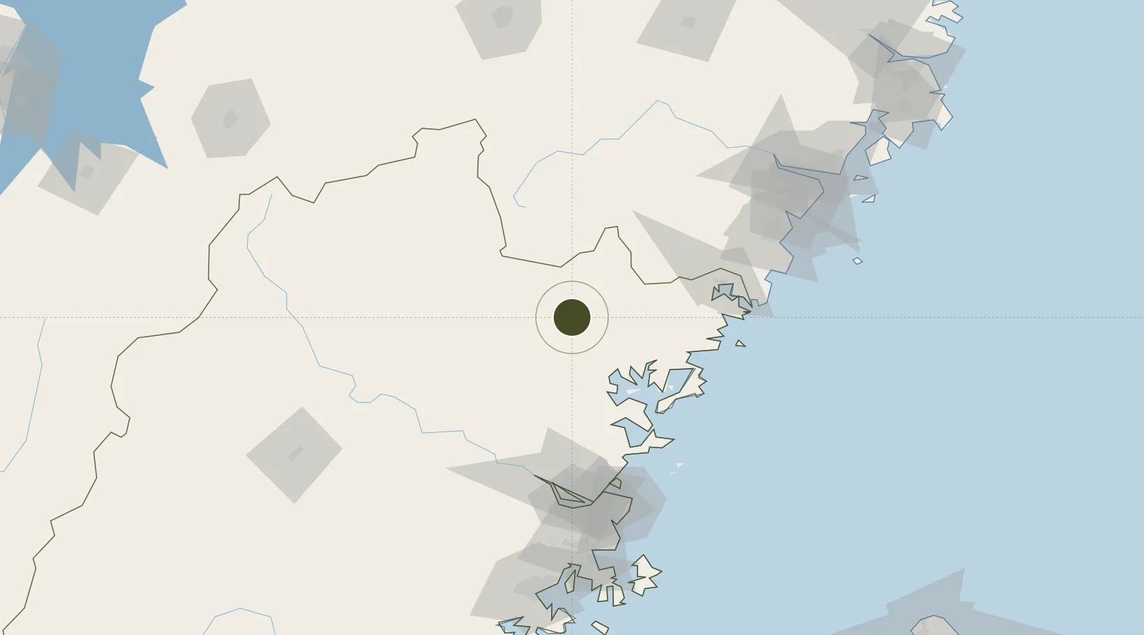
27.1118°, 119.3264°
813 ha
Zone area
114.4 km
Nearest port
111.9 km
Nearest airport

Gateway access

Nearest neighbours — logibook spatial index (haversine) over the source coordinates

Zone profile

Zone type
Diversified Zone
Open Zone Map
Region
Fujian
Open Zone Map
Status
Active
Open Zone Map
Management
Public
Open Zone Map
Operator
Longtan Urban Industrial Development Zone Management Committee
Open Zone Map
Legal framework
In December 1998, Jilin Provincial government approved the development zone
Open Zone Map

Location

Location of ozm-624
Natural Earth 10m (public domain) · Fujian · ozm-624 · 27.11, 119.33GoogleOSMYandex

Nearby Logistics Neighbours

Ports
  1. 1Fuzhou114 km
  2. 2Wenzhou165 km
  3. 3Xiuyu212 km
  4. 4Quanzhou258 km
  5. 5Haimen272 km
Nearest neighbours — logibook spatial index (haversine) over the source coordinates
Airports
  1. 1Fuzhou Zhuqi Heliport112 km
  2. 2Matsu Beigan Airport119 km
  3. 3Matsu Nangan Airport123 km
  4. 4Fuzhou Air Base123 km
  5. 5Fuzhou Changle International Airport136 km
Nearest neighbours — logibook spatial index (haversine) over the source coordinates
Cities
  1. 1Saiqi39 km
  2. 2Ningde50 km
  3. 3Zhangwan52 km
  4. 4Shacheng55 km
  5. 5Luoyuanwan86 km
Nearest neighbours — logibook spatial index (haversine) over the source coordinates
Trade Zones
  1. 1Fuan Economic Development Zone38 km
  2. 2Pingnan Industrial Park39 km
  3. 3Shouning Industrial Park42 km
  4. 4Gutian Industrial Park51 km
  5. 5Sanduao Economic Development Zone57 km
Nearest neighbours — logibook spatial index (haversine) over the source coordinates
DatabookThe Record of Consolidated Knowledge
China beyond logistics?
Browse databook

All Sources

Trade ZonesOpen Zone Map
CC BY
Portsthe NGA World Port Index
Public domain (US gov)
AirportsOurAirports
Public domain
LocationsUN/LOCODE
UN/LOCODE — free
← China trade zones