Export Processing Zone · China

Xinji Economic Development Zone Active
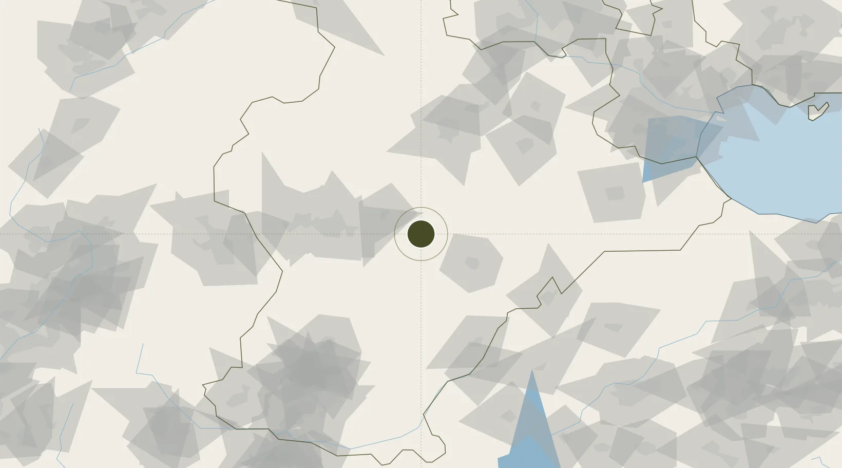
37.9786°, 115.2574°
483 ha
Zone area
249.7 km
Nearest port
59.4 km
Nearest airport

Gateway access

Nearest neighbours — logibook spatial index (haversine) over the source coordinates

Zone profile

Zone type
Export Processing Zone
Open Zone Map
Region
Hebei
Open Zone Map
Status
Active
Open Zone Map
Management
Public
Open Zone Map
Operator
Management Committee of Hebei Xinji Economic Development Zone
Open Zone Map
Legal framework
Unavailable
Open Zone Map

Location

Location of ozm-1161
Natural Earth 10m (public domain) · Hebei · ozm-1161 · 37.98, 115.26GoogleOSMYandex

Nearby Logistics Neighbours

Ports
  1. 1Tianjin Xin Gang250 km
  2. 2Tangshan (Jingtang)354 km
  3. 3Qinhuangdao435 km
  4. 4Longkou Gang443 km
  5. 5Rizhao481 km
Nearest neighbours — logibook spatial index (haversine) over the source coordinates
Airports
  1. 1Shijiazhuang Zhengding International Airport59 km
  2. 2Jiugucheng Air Base93 km
  3. 3Cangxian Air Base154 km
  4. 4Handan Airport178 km
  5. 5Tangguantun Air Base181 km
Nearest neighbours — logibook spatial index (haversine) over the source coordinates
Cities
  1. 1Xinji10 km
  2. 2Shijiazhuang67 km
  3. 3Baoding99 km
  4. 4Dezhou109 km
  5. 5Liaocheng134 km
Nearest neighbours — logibook spatial index (haversine) over the source coordinates
Trade Zones
  1. 1Shenze Economic Development Zone25 km
  2. 2Shenzhou Economic Development Zone31 km
  3. 3Wuji Economic Development Zone37 km
  4. 4Jizhou High-tech Industrial Development Zone57 km
  5. 5Wuyi Economic Development Zone58 km
Nearest neighbours — logibook spatial index (haversine) over the source coordinates
DatabookThe Record of Consolidated Knowledge
China beyond logistics?
Browse databook

All Sources

Trade ZonesOpen Zone Map
CC BY
Portsthe NGA World Port Index
Public domain (US gov)
AirportsOurAirports
Public domain
LocationsUN/LOCODE
UN/LOCODE — free
← China trade zones