Export Processing Zone · China

Shenze Economic Development Zone Active
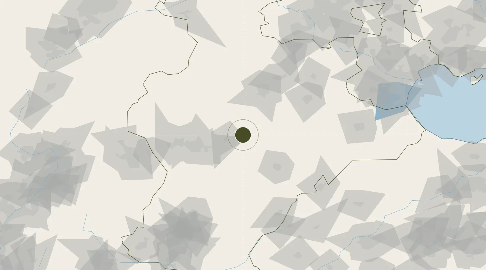
38.1979°, 115.1962°
898 ha
Zone area
244.6 km
Nearest port
44.6 km
Nearest airport

Gateway access

Nearest neighbours — logibook spatial index (haversine) over the source coordinates

Zone profile

Zone type
Export Processing Zone
Open Zone Map
Region
Hebei
Open Zone Map
Status
Active
Open Zone Map
Management
Public
Open Zone Map
Operator
Management Committee of Hebei Shenze Economic Development Zone-Shenze County Government
Open Zone Map
Legal framework
Unavailable
Open Zone Map

Location

Location of ozm-1235
Natural Earth 10m (public domain) · Hebei · ozm-1235 · 38.20, 115.20GoogleOSMYandex

Nearby Logistics Neighbours

Ports
  1. 1Tianjin Xin Gang245 km
  2. 2Tangshan (Jingtang)350 km
  3. 3Qinhuangdao428 km
  4. 4Longkou Gang451 km
  5. 5Penglai496 km
Nearest neighbours — logibook spatial index (haversine) over the source coordinates
Airports
  1. 1Shijiazhuang Zhengding International Airport45 km
  2. 2Jiugucheng Air Base113 km
  3. 3Cangxian Air Base153 km
  4. 4Tangguantun Air Base175 km
  5. 5Beijing Nanjiao Airport176 km
Nearest neighbours — logibook spatial index (haversine) over the source coordinates
Cities
  1. 1Xinji33 km
  2. 2Shijiazhuang64 km
  3. 3Baoding77 km
  4. 4Dezhou128 km
  5. 5Cangzhou146 km
Nearest neighbours — logibook spatial index (haversine) over the source coordinates
Trade Zones
  1. 1Wuji Economic Development Zone19 km
  2. 2Xinji Economic Development Zone25 km
  3. 3Anguo Modern Chinese Medicine Industrial Park37 km
  4. 4Xinle Economic Development Zone42 km
  5. 5Shenzhou Economic Development Zone42 km
Nearest neighbours — logibook spatial index (haversine) over the source coordinates
DatabookThe Record of Consolidated Knowledge
China beyond logistics?
Browse databook

All Sources

Trade ZonesOpen Zone Map
CC BY
Portsthe NGA World Port Index
Public domain (US gov)
AirportsOurAirports
Public domain
LocationsUN/LOCODE
UN/LOCODE — free
← China trade zones