Medium airport · China
Handan AirportZBHD
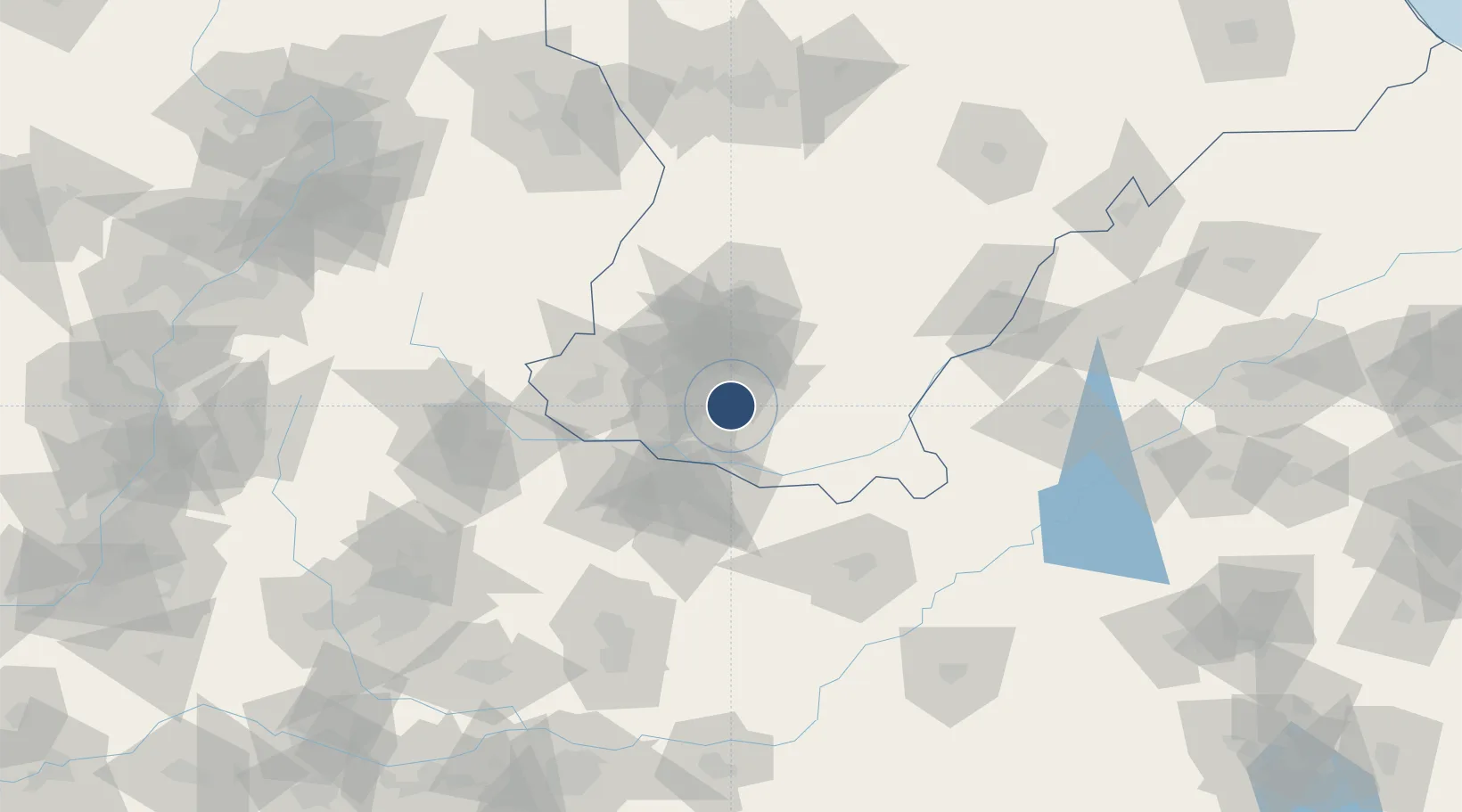
36.5248°, 114.4241°
8,530 ft
Longest runway
1
Runways
229 ft
Elevation
Runway & Layout

Runways · 1
| Runway | Dimensions | Surface | True heading | Lit |
|---|---|---|---|---|
| 05/23 | 8,530 × 148ft | — | — | — |
Airport Specifications
IATA code
HDG
ICAO code
ZBHD
Airport class
Medium airport
Scheduled service
Yes
Served city
Handan
Location
Nearby Logistics Neighbours
Airports
- 1Anyang Hongqiqu Airport73 km
- 2Changzhi Wangcun Airport120 km
- 3Jiugucheng Air Base185 km
- 4Heze Mudan Airport188 km
- 5Zhengzhou Air Base195 km
Ports
- 1Tianjin Xin Gang404 km
- 2Lanshan474 km
- 3Rizhao480 km
- 4Lianyungang496 km
- 5Tangshan (Jingtang)501 km
Trade Zones
DatabookThe Record of Consolidated Knowledge
China beyond logistics?