Seaport · China
Longkou GangCNLKU
37.6333°, 120.2833°
11.0 m
Channel depth
14.6
Port liner connectivity
Channel & Berth Profile
Pilotage, Tugs & Services
Pilotage compulsoryYES
Pilotage availableYES
Pilotage advisableYES
Tug assistanceYES
Potable waterYES
MedicalYES
Garbage disposalYES
Facilities & Capabilities
Container—
Ro-Ro—
Liquid bulk—
Dry bulk—
Oil terminal—
Break bulk—
Dry dockNO
RepairsNO
BunkeringYES
Rail link—
Dangerous cargo—
ISPS security—
Harbour Specifications
Harbour size
Small
Harbour type
Coastal (Natural)
Shelter
Fair
Water body
Bo Hai; Yellow Sea; North Pacific Ocean
Tidal range
1 m
Pilotage
Yes
Liner Connectivity
14.6
PLSCI
Port Liner Shipping Connectivity Index for Longkou Gang, as published by UNCTAD for the latest available quarter. Higher values indicate stronger scheduled liner-shipping integration.
Shown relative to the highest per-port PLSCI in the dataset (1,657.9).
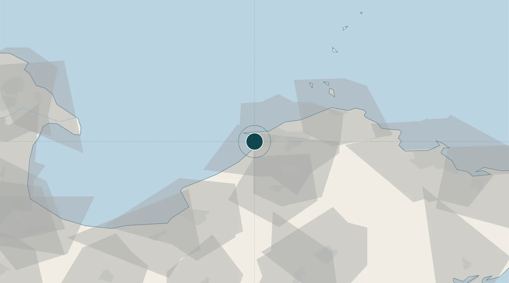
Location
Nearby Logistics Neighbours
Ports
- 1Penglai53 km
- 2Yantai103 km
- 3Lushun153 km
- 4Weihai161 km
- 5Qingdao Gang178 km
Cities
- 1Penglai Pt45 km
- 2Taipingwan57 km
- 3Laizhou Pt60 km
- 4Laiyang90 km
- 5Yantai97 km
Airports
Trade Zones
DatabookThe Record of Consolidated Knowledge
China beyond logistics?