Diversified Zone · China

Shenzhou Economic Development Zone Active
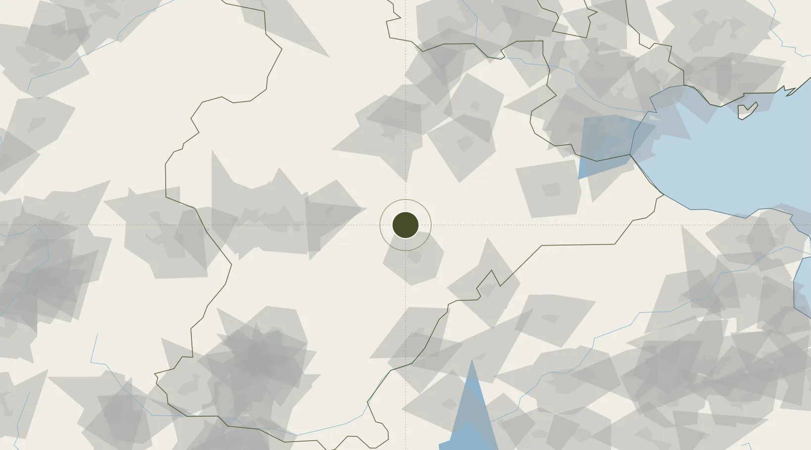
38.0101°, 115.6073°
997 ha
Zone area
221.0 km
Nearest port
73.0 km
Nearest airport

Gateway access

Nearest neighbours — logibook spatial index (haversine) over the source coordinates

Zone profile

Zone type
Diversified Zone
Open Zone Map
Region
Hebei
Open Zone Map
Status
Active
Open Zone Map
Management
Public
Open Zone Map
Operator
Management Committee of Shenzhou Economic Development Zone
Open Zone Map
Legal framework
In February 2011, it was designated as a provincial economic development zone by the provincial government
Open Zone Map

Location

Location of ozm-663
Natural Earth 10m (public domain) · Hebei · ozm-663 · 38.01, 115.61GoogleOSMYandex

Nearby Logistics Neighbours

Ports
  1. 1Tianjin Xin Gang221 km
  2. 2Tangshan (Jingtang)324 km
  3. 3Qinhuangdao407 km
  4. 4Longkou Gang413 km
  5. 5Rizhao458 km
Nearest neighbours — logibook spatial index (haversine) over the source coordinates
Airports
  1. 1Jiugucheng Air Base73 km
  2. 2Shijiazhuang Zhengding International Airport85 km
  3. 3Cangxian Air Base124 km
  4. 4Tangguantun Air Base154 km
  5. 5Beijing Nanjiao Airport177 km
Nearest neighbours — logibook spatial index (haversine) over the source coordinates
Cities
  1. 1Xinji38 km
  2. 2Dezhou88 km
  3. 3Baoding94 km
  4. 4Shijiazhuang97 km
  5. 5Cangzhou115 km
Nearest neighbours — logibook spatial index (haversine) over the source coordinates
Trade Zones
  1. 1Xinji Economic Development Zone31 km
  2. 2Wuyi Economic Development Zone35 km
  3. 3Wuqiang Economic Development Zone37 km
  4. 4Shenze Economic Development Zone42 km
  5. 5Xian County Economic Development Zone52 km
Nearest neighbours — logibook spatial index (haversine) over the source coordinates
DatabookThe Record of Consolidated Knowledge
China beyond logistics?
Browse databook

All Sources

Trade ZonesOpen Zone Map
CC BY
Portsthe NGA World Port Index
Public domain (US gov)
AirportsOurAirports
Public domain
LocationsUN/LOCODE
UN/LOCODE — free
← China trade zones