Runway & Layout

Runways · 1
| Runway | Dimensions | Surface | True heading | Lit |
|---|---|---|---|---|
| 17/35 | 8,235 × —ft | — | — | — |
Airport Specifications
Airport class
Medium airport
Scheduled service
No
Served city
Cangzhou
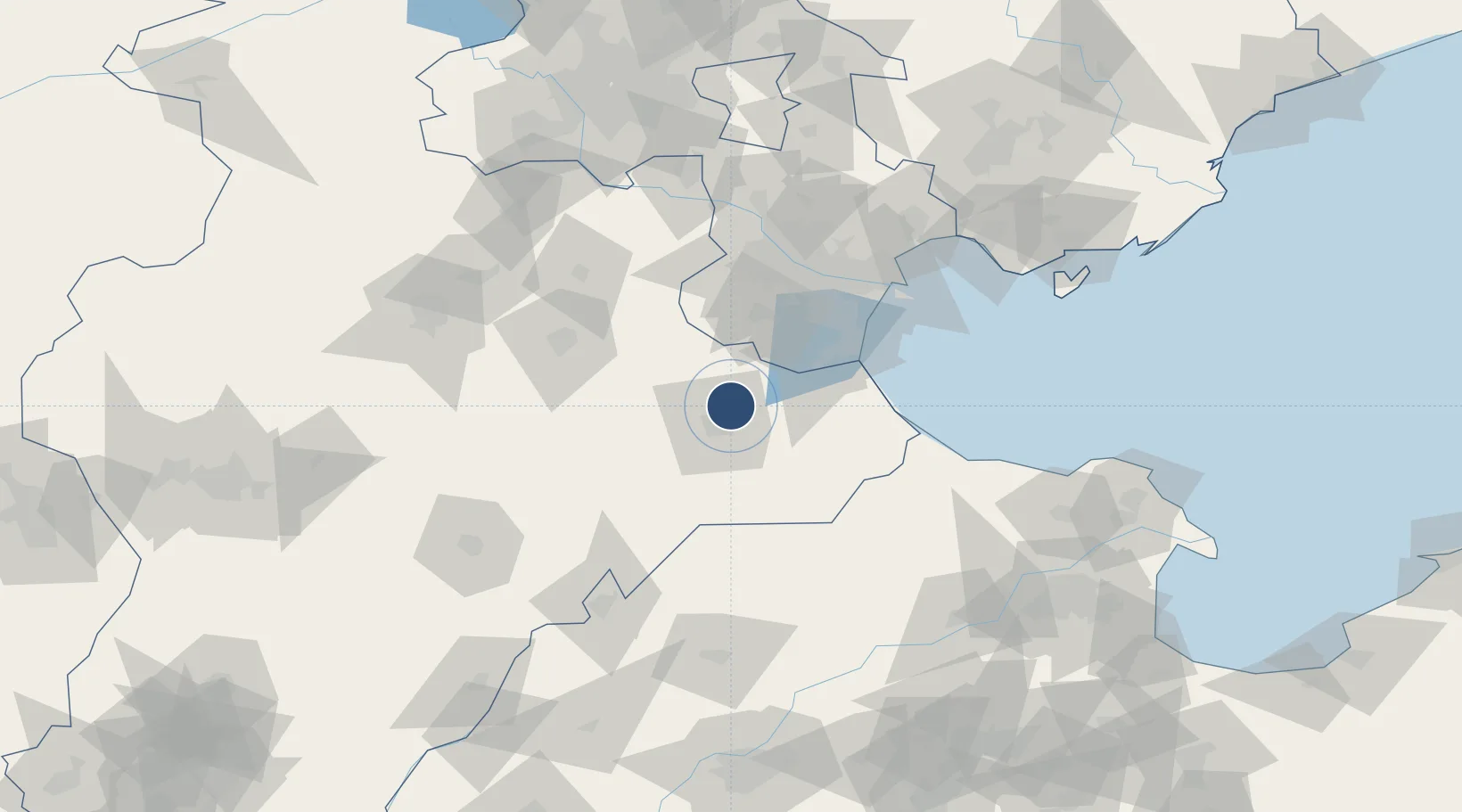
Location
Nearby Logistics Neighbours
Airports
- 1Tangguantun Air Base44 km
- 2Tianjin Binhai International Airport88 km
- 3Yangcun Air Base109 km
- 4Jiugucheng Air Base124 km
- 5Beijing Nanjiao Airport129 km
Cities
- 1Cangzhou13 km
- 2Huanghua Pt37 km
- 3Jinghai, Tianjing55 km
- 4Xiqing , Tianjing74 km
- 5Leling79 km
Ports
- 1Tianjin Xin Gang100 km
- 2Tangshan (Jingtang)201 km
- 3Qinhuangdao287 km
- 4Longkou Gang306 km
- 5Penglai348 km
DatabookThe Record of Consolidated Knowledge
China beyond logistics?