UN/LOCODE hub · China
CNSJZ
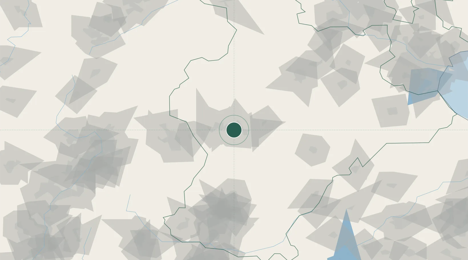
Shijiazhuang
38.0333°, 114.5000°
3,938,513
Population
3
Transport functions
Transport Functions
Rail
Airport
Postal
Hub Profile
Place type
Regional capital
Region
Hebei
Population
3,938,513
Time zone
Asia/Shanghai
Elevation
77 m
Location
Nearby Logistics Neighbours
Ports
- 1Tianjin Xin Gang308 km
- 2Tangshan (Jingtang)413 km
- 3Qinhuangdao490 km
- 4Longkou Gang510 km
- 5Rizhao539 km
Airports
- 1Shijiazhuang Zhengding International Airport33 km
- 2Xinzhou Wutaishan Airport148 km
- 3Jiugucheng Air Base154 km
- 4Taiyuan Wusu International Airport167 km
- 5Handan Airport168 km
DatabookThe Record of Consolidated Knowledge
China beyond logistics?