Diversified Zone · China

Wuyi Economic Development Zone Active
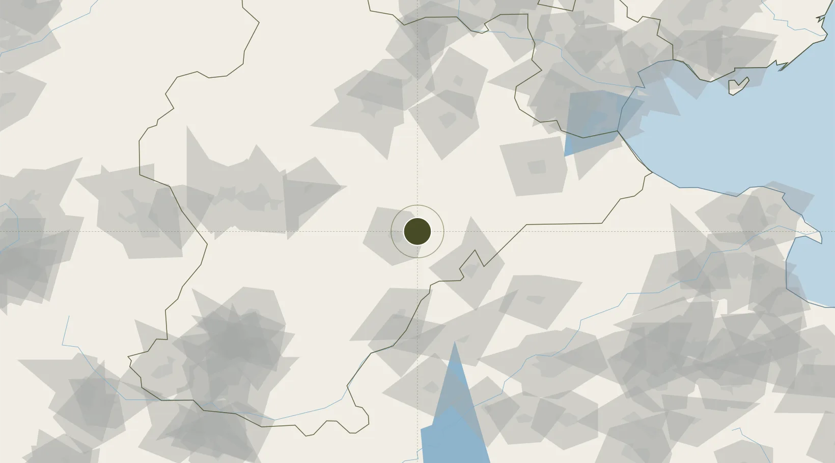
37.7759°, 115.8677°
639 ha
Zone area
216.5 km
Nearest port
38.5 km
Nearest airport

Gateway access

Nearest neighbours — logibook spatial index (haversine) over the source coordinates

Zone profile

Zone type
Diversified Zone
Open Zone Map
Region
Hebei
Open Zone Map
Status
Active
Open Zone Map
Management
Public
Open Zone Map
Operator
Wuyi Economic Development Management Committee
Open Zone Map
Legal framework
In April 2003, the provincial government approved the establishment
Open Zone Map

Location

Location of ozm-580
Natural Earth 10m (public domain) · Hebei · ozm-580 · 37.78, 115.87GoogleOSMYandex

Nearby Logistics Neighbours

Ports
  1. 1Tianjin Xin Gang217 km
  2. 2Tangshan (Jingtang)317 km
  3. 3Longkou Gang389 km
  4. 4Qinhuangdao404 km
  5. 5Rizhao424 km
Nearest neighbours — logibook spatial index (haversine) over the source coordinates
Airports
  1. 1Jiugucheng Air Base39 km
  2. 2Cangxian Air Base116 km
  3. 3Shijiazhuang Zhengding International Airport117 km
  4. 4Tangguantun Air Base153 km
  5. 5Jinan Yaoqiang International Airport157 km
Nearest neighbours — logibook spatial index (haversine) over the source coordinates
Cities
  1. 1Dezhou53 km
  2. 2Xinji60 km
  3. 3Liaocheng105 km
  4. 4Cangzhou105 km
  5. 5Leling119 km
Nearest neighbours — logibook spatial index (haversine) over the source coordinates
Trade Zones
  1. 1Fucheng Economic Development Zone30 km
  2. 2Zaoqiang Economic Development Zone30 km
  3. 3Wuqiang Economic Development Zone34 km
  4. 4Shenzhou Economic Development Zone35 km
  5. 5Jizhou High-tech Industrial Development Zone37 km
Nearest neighbours — logibook spatial index (haversine) over the source coordinates
DatabookThe Record of Consolidated Knowledge
China beyond logistics?
Browse databook

All Sources

Trade ZonesOpen Zone Map
CC BY
Portsthe NGA World Port Index
Public domain (US gov)
AirportsOurAirports
Public domain
LocationsUN/LOCODE
UN/LOCODE — free
← China trade zones