Transport Functions
Rail
Road
Multimodal
Hub Profile
Place type
Provincial seat
Region
Shandong
Population
1,229,768
Time zone
Asia/Shanghai
Elevation
32 m
Logistics facilities
1
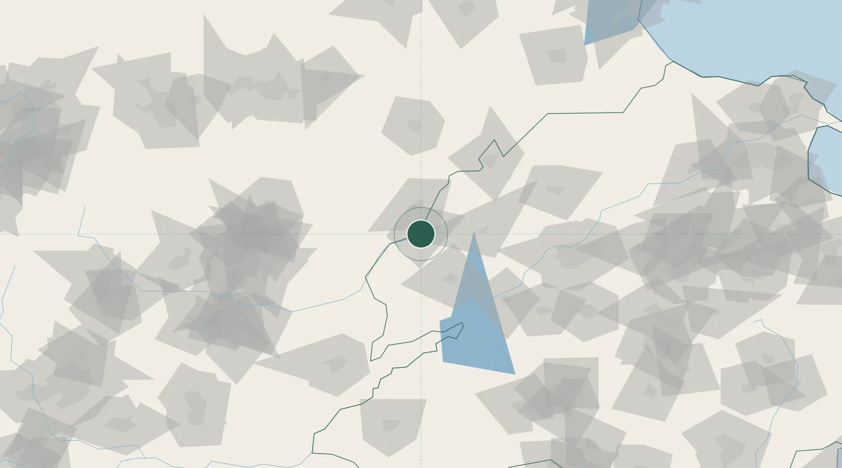
Location
Nearby Logistics Neighbours
Ports
- 1Tianjin Xin Gang300 km
- 2Rizhao380 km
- 3Lanshan380 km
- 4Tangshan (Jingtang)389 km
- 5Lianyungang408 km
Airports
- 1Jiugucheng Air Base80 km
- 2Handan Airport122 km
- 3Jinan Yaoqiang International Airport131 km
- 4Anyang Hongqiqu Airport157 km
- 5Jining Da'an Airport160 km
DatabookThe Record of Consolidated Knowledge
China beyond logistics?