Seaport · China

RizhaoCNRZH

35.3833°, 119.5667°
14.0 m
Channel depth
1
Container terminals
114.5
Port liner connectivity
Rizhao is also a UN/LOCODE logistics hub →

Channel & Berth Profile

SEA LEVEL (CD)CHANNEL BEDOil terminal · 4.9 mCargo pier · 11.0 mChannel · 14.0 mAnchorage · 17.1 m
NGA World Port Index

Pilotage, Tugs & Services

Tug assistanceYES
Potable waterYES
MedicalYES
Garbage disposalYES
NGA World Port Index

Facilities & Capabilities

Container
Ro-Ro
Liquid bulk
Dry bulk
Oil terminal
Break bulk
Dry dock
RepairsNO
BunkeringYES
Rail linkYES
Dangerous cargo
ISPS security
NGA World Port Index

Harbour Specifications

Harbour size
Very Small
NGA World Port Index
Harbour type
Coastal (Natural)
NGA World Port Index
Shelter
Poor
NGA World Port Index
Water body
Yellow Sea; North Pacific Ocean
NGA World Port Index
Tidal range
5 m
NGA World Port Index
Overhead limit
Yes
NGA World Port Index

Liner Connectivity

114.5
PLSCI

Port Liner Shipping Connectivity Index for Rizhao, as published by UNCTAD for the latest available quarter. Higher values indicate stronger scheduled liner-shipping integration.

Shown relative to the highest per-port PLSCI in the dataset (1,657.9).
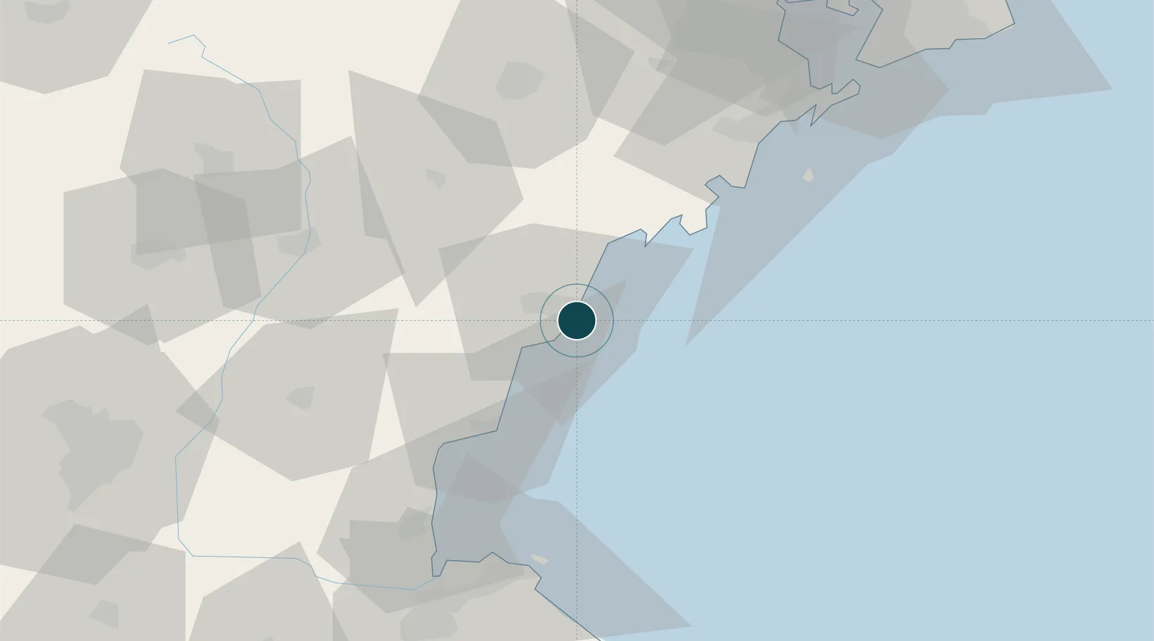
UNCTAD · Port Liner Shipping Connectivity Index

Location

Location of CNRZH
Natural Earth 10m (public domain) · Shandong · CNRZH · 35.38, 119.57GoogleOSMYandex

Container Terminals · 1

RIZHAO PORT
XXXXX
SMDG Terminal Code List

Nearby Logistics Neighbours

Ports
  1. 1Lanshan38 km
  2. 2Lianyungang73 km
  3. 3Qingdao Gang96 km
  4. 4Longkou Gang258 km
  5. 5Penglai293 km
Nearest neighbours — logibook spatial index (haversine) over the source coordinates
Cities
  1. 1Dongjiangkou30 km
  2. 2Dongjiakou30 km
  3. 3Lanshan Pt40 km
  4. 4Lianyungang76 km
  5. 5Xianlang91 km
Nearest neighbours — logibook spatial index (haversine) over the source coordinates
Airports
  1. 1Rizhao Shanzihe Airport22 km
  2. 2Zhucheng Air Base73 km
  3. 3Linyi Qiyang Airport111 km
  4. 4Jiaozhou Jiaocheng Air Base113 km
  5. 5Lianyungang Huaguoshan International Airport113 km
Nearest neighbours — logibook spatial index (haversine) over the source coordinates
Trade Zones
  1. 1Rizhao High-tech Industrial Development Zone11 km
  2. 2Lanshan Economic Development Zone36 km
  3. 3Ganyu Ocean Economical Development Zone67 km
  4. 4Juxian Economic Development Zone70 km
  5. 5Ganyu Economic Development Zone72 km
Nearest neighbours — logibook spatial index (haversine) over the source coordinates
DatabookThe Record of Consolidated Knowledge
China beyond logistics?
Browse databook

All Sources

Portsthe NGA World Port Index
Public domain (US gov)
Logistics performanceUNCTAD
CC BY 3.0 IGO
Portsthe SMDG Terminal Code List
UN/LOCODE — free, attribution
AirportsOurAirports
Public domain
LocationsUN/LOCODE
UN/LOCODE — free
Trade Zonesthe World Bank SEZ database
CC BY 4.0
Trade ZonesOpen Zone Map
CC BY
← China ports