Transport Functions
Multimodal
Hub Profile
Place type
Provincial seat
Region
Hebei
Population
2,739,887
Time zone
Asia/Shanghai
Elevation
15 m
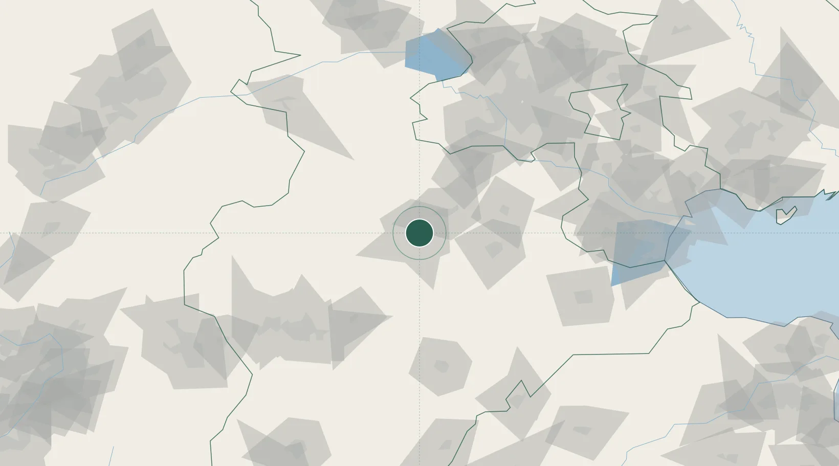
Location
Nearby Logistics Neighbours
Cities
- 1Xiangyang89 km
- 2Daxing107 km
- 3Xinji109 km
- 4Hebei116 km
- 5Jinghai, Tianjing124 km
Ports
- 1Tianjin Xin Gang202 km
- 2Tangshan (Jingtang)306 km
- 3Qinhuangdao374 km
- 4Longkou Gang439 km
- 5Penglai479 km
Airports
DatabookThe Record of Consolidated Knowledge
China beyond logistics?