Runway & Layout

Airport Specifications
Airport class
Medium airport
Scheduled service
No
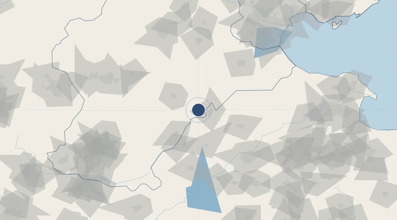
Served city
Hengshui
Location
Nearby Logistics Neighbours
Airports
- 1Jinan Yaoqiang International Airport120 km
- 2Cangxian Air Base124 km
- 3Shijiazhuang Zhengding International Airport152 km
- 4Tangguantun Air Base166 km
- 5Handan Airport185 km
Ports
- 1Tianjin Xin Gang222 km
- 2Tangshan (Jingtang)316 km
- 3Longkou Gang368 km
- 4Rizhao388 km
- 5Lanshan396 km
DatabookThe Record of Consolidated Knowledge
China beyond logistics?