Large airport · China
Shijiazhuang Zhengding International AirportZBSJ
38.2807°, 114.6970°
11,155 ft
Longest runway
1
Runways
233 ft
Elevation
Runway & Layout

Radio Frequencies
TWR
118.35 MHz
SHIJIAZHUANG TWR
Navaids
FL NDB Wuji 272 kHz
OC NDB Xingtang 235 kHz
SJW VOR-DME Zhengding 117.70 MHz
Runways · 1
| Runway | Dimensions | Surface | True heading | Lit |
|---|---|---|---|---|
| 15/33 | 11,155 × 148ft | Concrete | 147° | ✓ |
Airport Specifications
IATA code
SJW
ICAO code
ZBSJ
Airport class
Large airport
Scheduled service
Yes
Runway surface
Concrete
Served city
Shijiazhuang
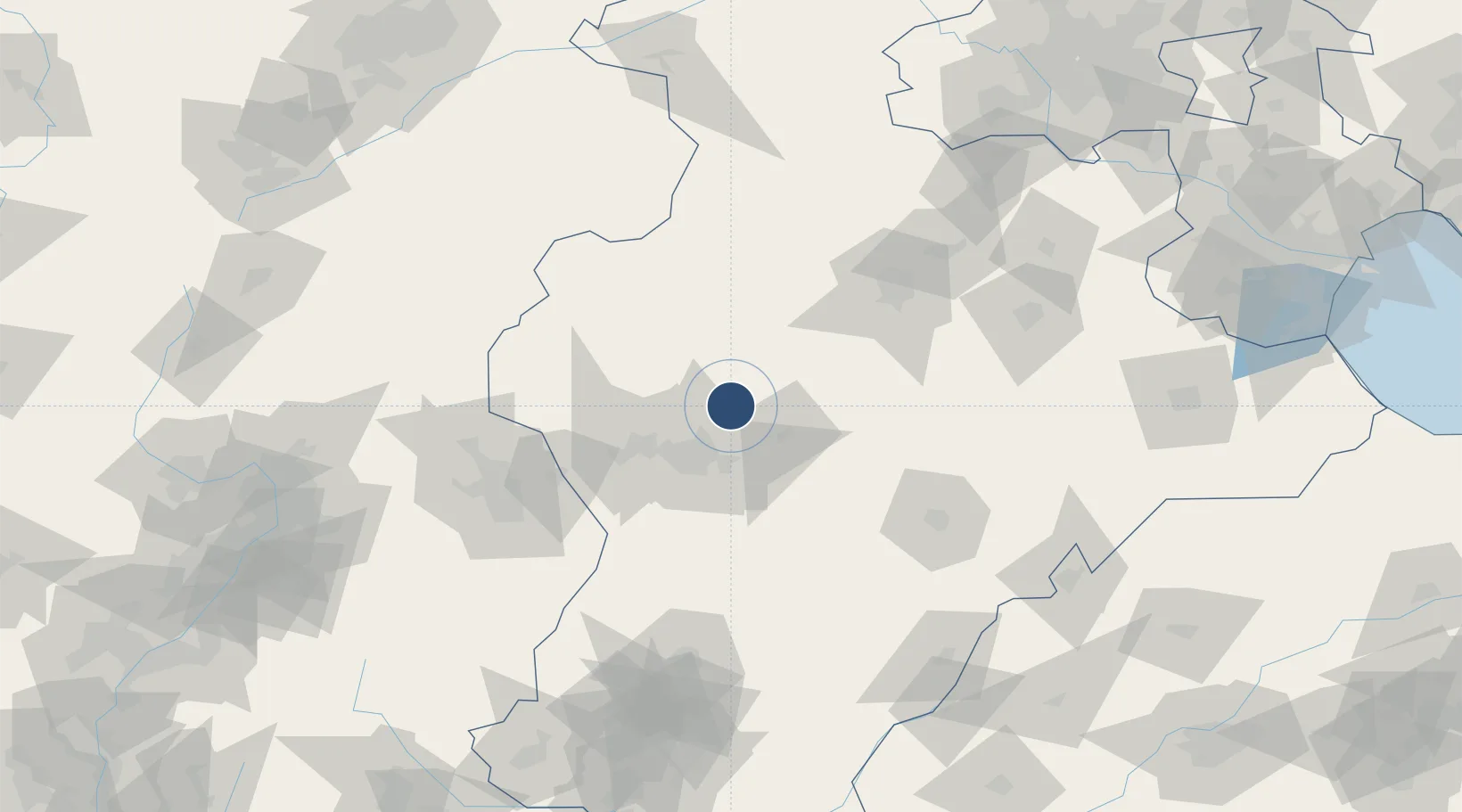
Location
Nearby Logistics Neighbours
Airports
- 1Jiugucheng Air Base152 km
- 2Xinzhou Wutaishan Airport155 km
- 3Taiyuan Wusu International Airport191 km
- 4Cangxian Air Base195 km
- 5Handan Airport197 km
Cities
- 1Shijiazhuang33 km
- 2Xinji61 km
- 3Baoding94 km
- 4Dezhou168 km
- 5Xiangyang181 km
Ports
- 1Tianjin Xin Gang283 km
- 2Tangshan (Jingtang)388 km
- 3Qinhuangdao463 km
- 4Longkou Gang495 km
- 5Penglai540 km
DatabookThe Record of Consolidated Knowledge
China beyond logistics?