Runway & Layout

Airport Specifications
Airport class
Medium airport
Scheduled service
No
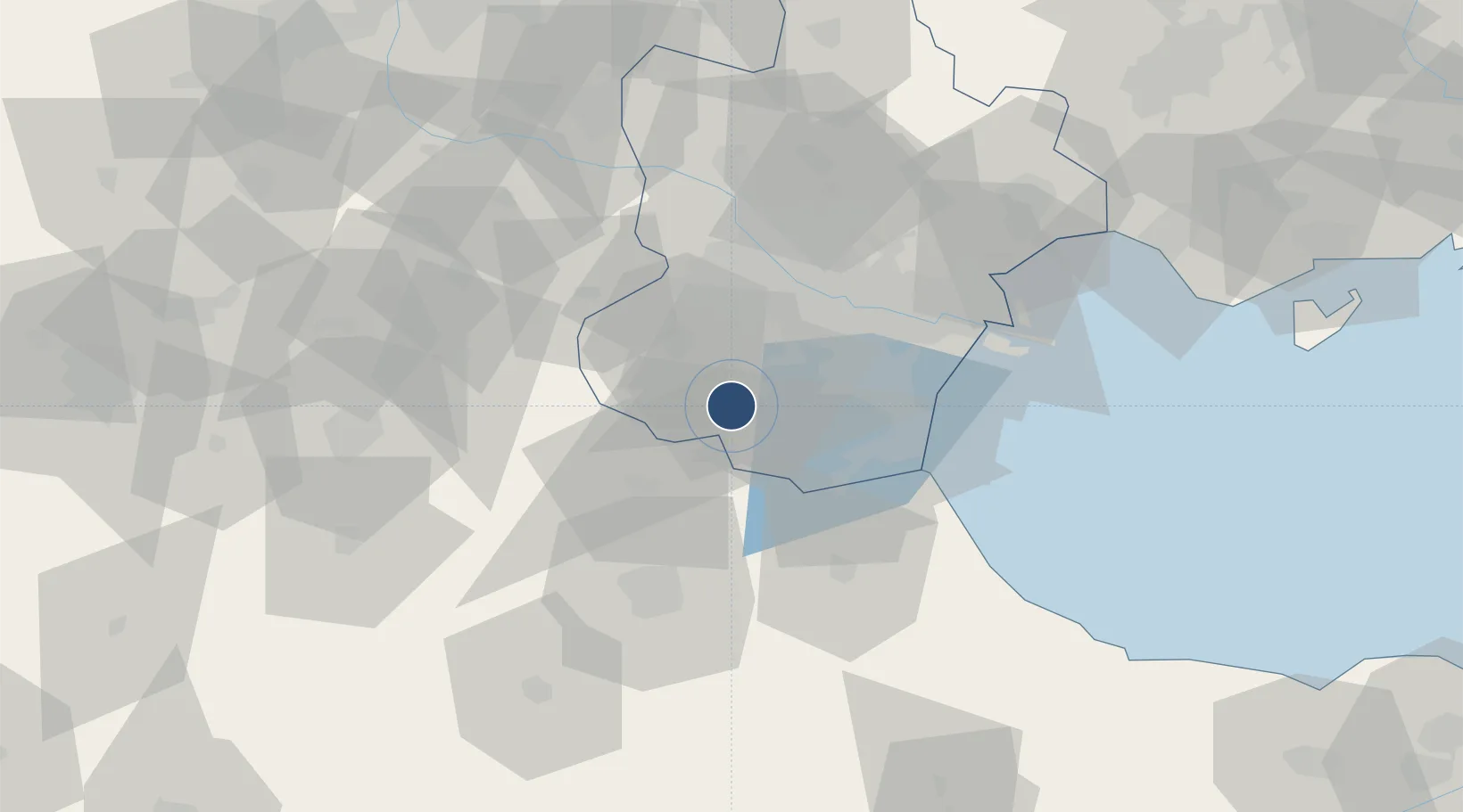
Served city
Jinghai
Location
Nearby Logistics Neighbours
Airports
Cities
- 1Jinghai, Tianjing18 km
- 2Xiqing , Tianjing32 km
- 3Dongli ,Tianjing39 km
- 4Heping40 km
- 5Huanghua Pt54 km
Ports
- 1Tianjin Xin Gang69 km
- 2Tangshan (Jingtang)175 km
- 3Qinhuangdao254 km
- 4Longkou Gang309 km
- 5Penglai346 km
Trade Zones
DatabookThe Record of Consolidated Knowledge
China beyond logistics?