Transport Functions
Port
Road
Hub Profile
Place type
Provincial seat
Region
Shandong
Population
679,535
Time zone
Asia/Shanghai
Elevation
25 m
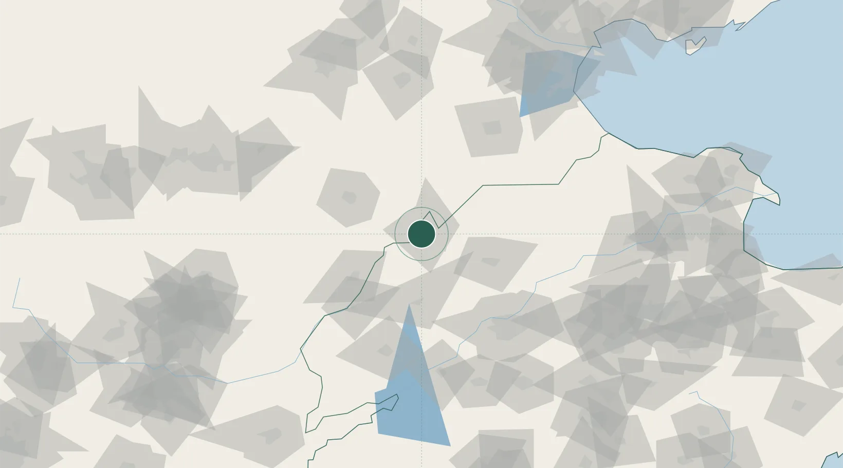
Location
Nearby Logistics Neighbours
Ports
- 1Tianjin Xin Gang218 km
- 2Tangshan (Jingtang)309 km
- 3Longkou Gang353 km
- 4Rizhao372 km
- 5Lanshan381 km
Airports
- 1Jiugucheng Air Base16 km
- 2Jinan Yaoqiang International Airport105 km
- 3Cangxian Air Base122 km
- 4Tangguantun Air Base165 km
- 5Shijiazhuang Zhengding International Airport168 km
DatabookThe Record of Consolidated Knowledge
China beyond logistics?