Diversified Zone · China

Wuji Economic Development Zone Active
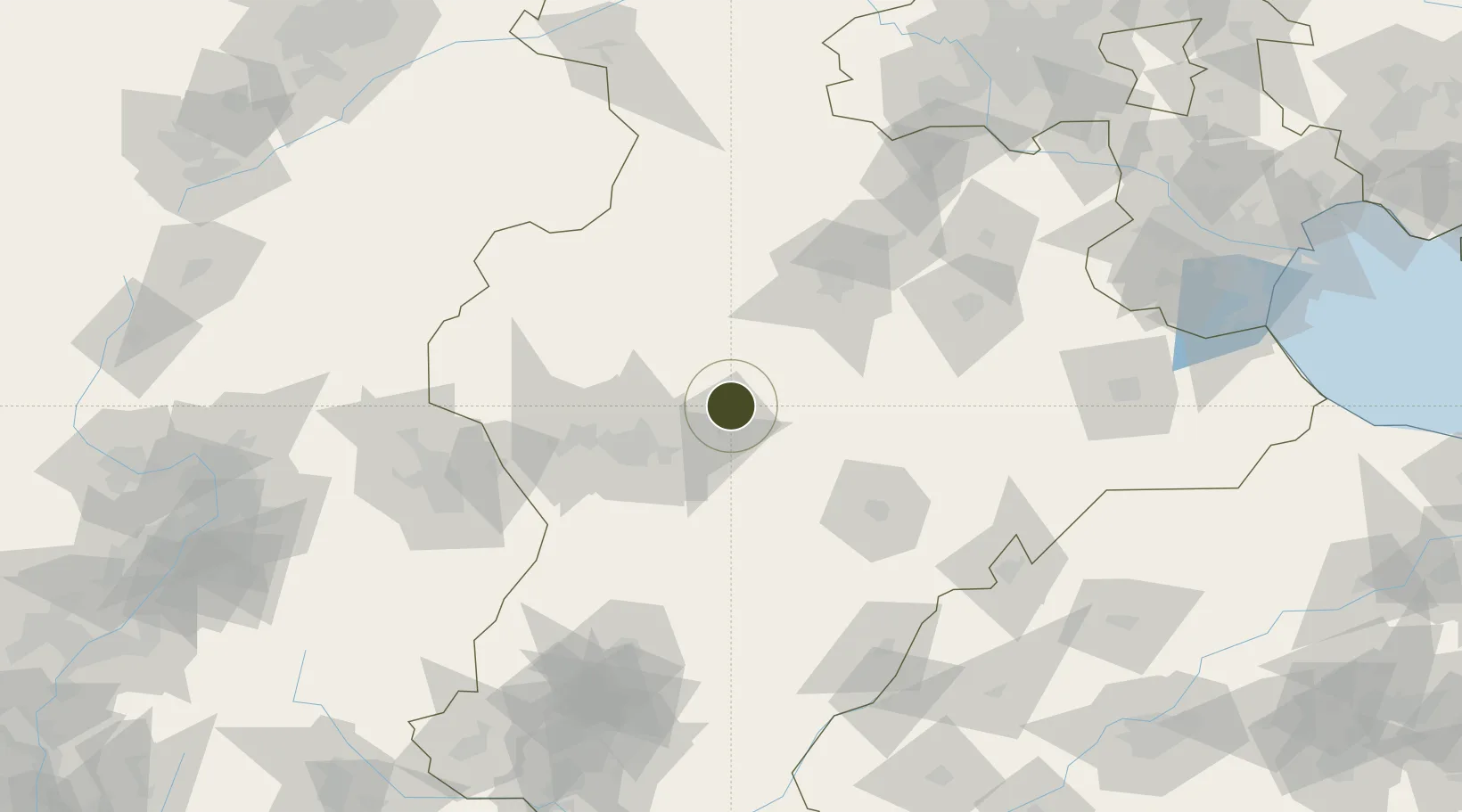
38.2370°, 114.9842°
611 ha
Zone area
260.5 km
Nearest port
25.5 km
Nearest airport

Gateway access

Nearest neighbours — logibook spatial index (haversine) over the source coordinates

Zone profile

Zone type
Diversified Zone
Open Zone Map
Region
Hebei
Open Zone Map
Status
Active
Open Zone Map
Management
Public
Open Zone Map
Operator
Wuji Economic Development Zone Management Committee
Open Zone Map
Legal framework
Founded in 1996, Qisheng Industrial and Trade Park is one of the largest leather production bases in China
Open Zone Map

Location

Location of ozm-574
Natural Earth 10m (public domain) · Hebei · ozm-574 · 38.24, 114.98GoogleOSMYandex

Nearby Logistics Neighbours

Ports
  1. 1Tianjin Xin Gang261 km
  2. 2Tangshan (Jingtang)366 km
  3. 3Qinhuangdao442 km
  4. 4Longkou Gang470 km
  5. 5Penglai514 km
Nearest neighbours — logibook spatial index (haversine) over the source coordinates
Airports
  1. 1Shijiazhuang Zhengding International Airport26 km
  2. 2Jiugucheng Air Base130 km
  3. 3Cangxian Air Base171 km
  4. 4Xinzhou Wutaishan Airport180 km
  5. 5Beijing Nanjiao Airport183 km
Nearest neighbours — logibook spatial index (haversine) over the source coordinates
Cities
  1. 1Xinji42 km
  2. 2Shijiazhuang48 km
  3. 3Baoding82 km
  4. 4Dezhou145 km
  5. 5Cangzhou165 km
Nearest neighbours — logibook spatial index (haversine) over the source coordinates
Trade Zones
  1. 1Shenze Economic Development Zone19 km
  2. 2Xinle Economic Development Zone23 km
  3. 3Zhengding High-tech Industrial Development Zone35 km
  4. 4Dingzhou Economic Development Zone35 km
  5. 5Xinji Economic Development Zone37 km
Nearest neighbours — logibook spatial index (haversine) over the source coordinates
DatabookThe Record of Consolidated Knowledge
China beyond logistics?
Browse databook

All Sources

Trade ZonesOpen Zone Map
CC BY
Portsthe NGA World Port Index
Public domain (US gov)
AirportsOurAirports
Public domain
LocationsUN/LOCODE
UN/LOCODE — free
← China trade zones