Export Processing Zone · China
Fuxin Leather Industry Development Zone Active
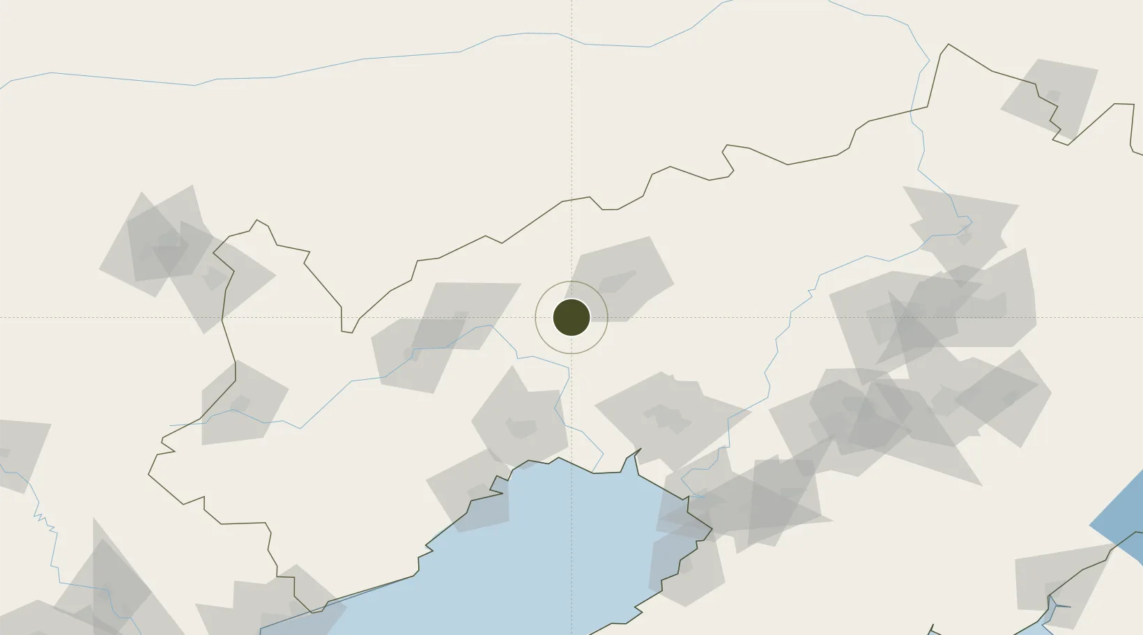
41.7965°, 121.4403°
970 ha
Zone area
119.8 km
Nearest port
36.4 km
Nearest airport
Gateway access
Zone profile
Zone type
Export Processing Zone
Region
Liaoning
Status
Active
Management
Public
Operator
Working Committee of Fuxin Leather Industry Development Zone
Legal framework
Opinions of the State Council on Several Major Policy Measures to Support the Revitalization of Northeast China in the Near Future (Guo Fa [2014] No. 28)
Location
Nearby Logistics Neighbours
Ports
- 1Jinzhou Wan120 km
- 2Huludao Gang128 km
- 3Yingkou140 km
- 4Bayuquan175 km
- 5Qinhuangdao258 km
Airports
- 1Fuxin Air Base36 km
- 2Chaoyang Airport88 km
- 3Jinzhou Bay Airport97 km
- 4Anshan Teng'ao Airport / Anshan Air Base141 km
- 5Xingcheng Air Base149 km
DatabookThe Record of Consolidated Knowledge
China beyond logistics?