Diversified Zone · China

Goubangzi Economic Development Zone Active
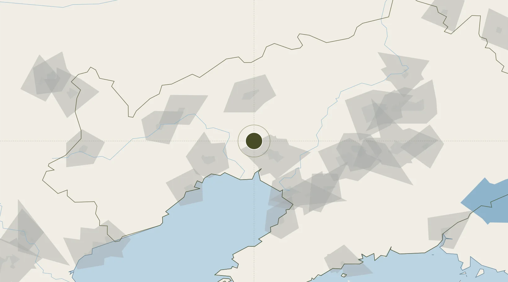
41.3756°, 121.7642°
464 ha
Zone area
86.4 km
Nearest port
63.7 km
Nearest airport

Gateway access

Nearest neighbours — logibook spatial index (haversine) over the source coordinates

Zone profile

Zone type
Diversified Zone
Open Zone Map
Region
Liaoning
Open Zone Map
Status
Active
Open Zone Map
Management
Public
Open Zone Map
Operator
Goubangzi Economic Development Zone Management Committee
Open Zone Map
Legal framework
Founded in 1991, in July 2006, the national examination and promoted to the provincial development zone
Open Zone Map

Location

Location of ozm-515
Natural Earth 10m (public domain) · Liaoning · ozm-515 · 41.38, 121.76GoogleOSMYandex

Nearby Logistics Neighbours

Ports
  1. 1Yingkou86 km
  2. 2Jinzhou Wan89 km
  3. 3Huludao Gang100 km
  4. 4Bayuquan123 km
  5. 5Qinhuangdao242 km
Nearest neighbours — logibook spatial index (haversine) over the source coordinates
Airports
  1. 1Jinzhou Bay Airport64 km
  2. 2Fuxin Air Base79 km
  3. 3Anshan Teng'ao Airport / Anshan Air Base96 km
  4. 4Yingkou Lanqi Airport105 km
  5. 5Chaoyang Airport112 km
Nearest neighbours — logibook spatial index (haversine) over the source coordinates
Cities
  1. 1Goubangzi3 km
  2. 2Beizhen8 km
  3. 3Heishan44 km
  4. 4Dawa50 km
  5. 5Panjin79 km
Nearest neighbours — logibook spatial index (haversine) over the source coordinates
DatabookThe Record of Consolidated Knowledge
China beyond logistics?
Browse databook

All Sources

Trade ZonesOpen Zone Map
CC BY
Portsthe NGA World Port Index
Public domain (US gov)
AirportsOurAirports
Public domain
LocationsUN/LOCODE
UN/LOCODE — free
← China trade zones