Export Processing Zone · Vietnam

Bình Nghi Industrial Zone Under Development
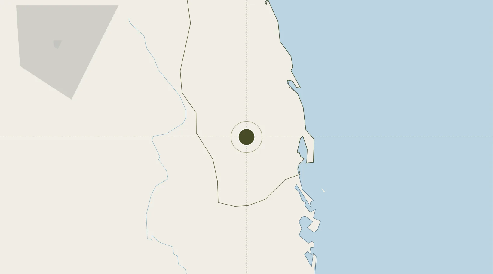
13.8865°, 108.9681°
228 ha
Zone area
31.6 km
Nearest port
11.0 km
Nearest airport

Gateway access

Nearest neighbours — logibook spatial index (haversine) over the source coordinates

Zone profile

Zone type
Export Processing Zone
Open Zone Map
Region
Bình Định
Open Zone Map
Status
Under Development
Open Zone Map
Management
Public
Open Zone Map
Operator
Binh Dinh Economic Zone Administration
Open Zone Map
Legal framework
Decree No.82/2018/ND-CP
Open Zone Map

Location

Location of ozm-5128
Natural Earth 10m (public domain) · Bình Định · ozm-5128 · 13.89, 108.97GoogleOSMYandex

Nearby Logistics Neighbours

Ports
  1. 1Qui Nhon32 km
  2. 2Nha Trang184 km
  3. 3Vinh Cam Ranh224 km
  4. 4Da Nang259 km
  5. 5Thanh Hoa417 km
Nearest neighbours — logibook spatial index (haversine) over the source coordinates
Airports
  1. 1Phu Cat Airport11 km
  2. 2Dong Tac Airport101 km
  3. 3Pleiku Airport104 km
  4. 4Buon Ma Thuot Airport164 km
  5. 5Chu Lai Airport171 km
Nearest neighbours — logibook spatial index (haversine) over the source coordinates
Cities
  1. 1Qui Nhon31 km
  2. 2Tan Cang - Mien Trung Terminal32 km
  3. 3Thi Nai Port33 km
  4. 4Bong Son61 km
  5. 5Tan Cang Qui Nhon94 km
Nearest neighbours — logibook spatial index (haversine) over the source coordinates
Trade Zones
  1. 1Nhon Hoa Industrial Zone12 km
  2. 2Cát Trinh Industrial Zone18 km
  3. 3Hòa Hội Industrial Zone20 km
  4. 4Long My Industrial Park25 km
  5. 5Bình Định Becamex Industrial Zone (IZ)31 km
Nearest neighbours — logibook spatial index (haversine) over the source coordinates
DatabookThe Record of Consolidated Knowledge
Vietnam beyond logistics?
Browse databook

All Sources

Trade ZonesOpen Zone Map
CC BY
Portsthe NGA World Port Index
Public domain (US gov)
AirportsOurAirports
Public domain
LocationsUN/LOCODE
UN/LOCODE — free
← Vietnam trade zones