Transport Functions
Port
Hub Profile
Place type
Provincial seat
Region
Gia Lai
Time zone
Asia/Ho_Chi_Minh
Elevation
16 m
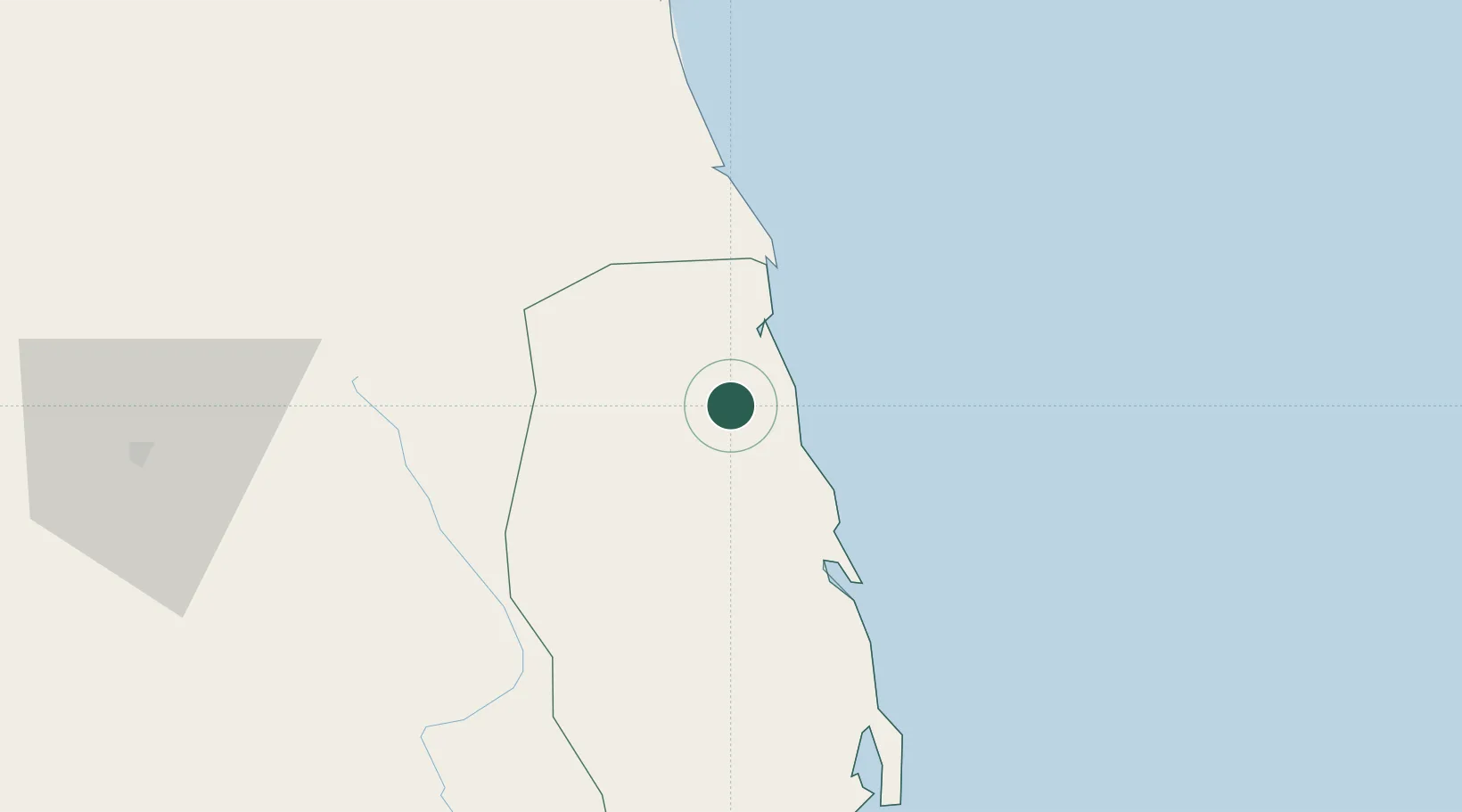
Location
Nearby Logistics Neighbours
Cities
- 1Qui Nhon76 km
- 2Tan Cang - Mien Trung Terminal78 km
- 3Thi Nai Port78 km
- 4Dung Quat113 km
- 5Tan Cang Qui Nhon115 km
Ports
- 1Qui Nhon78 km
- 2Da Nang204 km
- 3Nha Trang244 km
- 4Vinh Cam Ranh284 km
- 5Sanya434 km
Airports
- 1Phu Cat Airport53 km
- 2Chu Lai Airport113 km
- 3Pleiku Airport118 km
- 4Dong Tac Airport158 km
- 5Da Nang International Airport199 km
Trade Zones
DatabookThe Record of Consolidated Knowledge
Vietnam beyond logistics?