Industrial Complex · South Korea
Balan General Industrial Complex Active
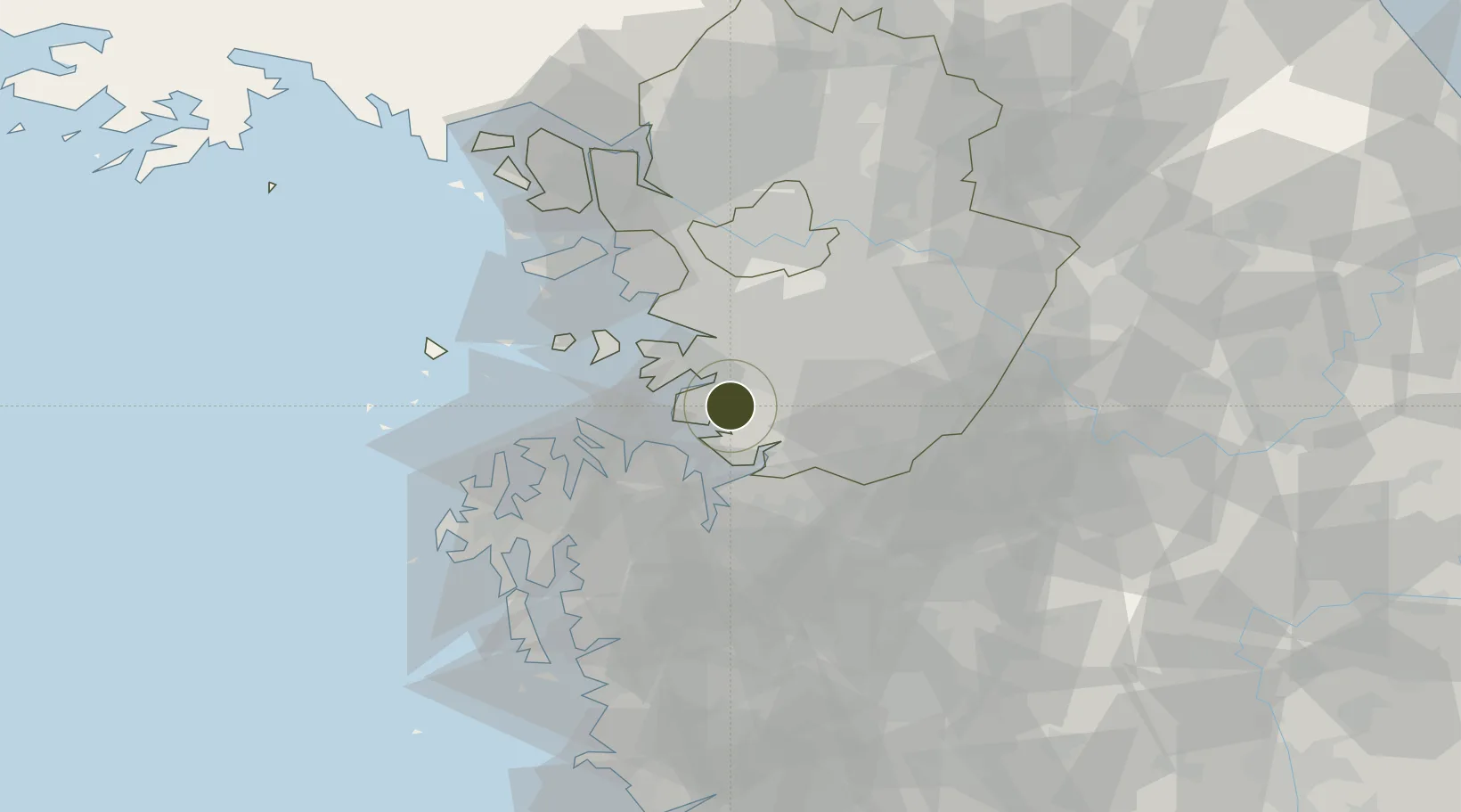
37.0873°, 126.9074°
60 ha
Zone area
13.6 km
Nearest port
10.8 km
Nearest airport
Gateway access
Zone profile
Zone type
Industrial Complex
Specialization
Tech
Region
Gyeonggi
Status
Active
Established
2006
Management
Public agency
Operator
Hwaseong City Business Support Section
Regulatory authority
National, provincial or city-level governments
Legal framework
Industrial Sites and Development Act, and the Industrial Placement and Factory Act
Location
Fiscal & incentives
Corporate tax
22%
Tax relief
100% exempt
Relief duration
5 years
VAT
No exemption
Import duty (inputs)
0% exempt
Import duty (capex)
100% exempt
Profit repatriation
No exemption
Capital gains
No exemption
Withholding tax
No exemption
Min. investment
$30M
Min. export
0%
Employment incentive
Employment and training subsidies available to companies that newly employ 20 more individuals
Developer incentive
No established framework
Nearby Logistics Neighbours
Ports
- 1Pyeongtaek Hang14 km
- 2Daesan Hang46 km
- 3Inchon49 km
- 4Kunsan126 km
- 5Haeju Hang147 km
Airports
- 1Osan Air Base11 km
- 2Camp Humphreys (A-511) Desiderio Army Airfield18 km
- 3Suwon Airport19 km
- 4Seoul Air Base (K-16)44 km
- 5Gimpo International Airport53 km
Cities
- 1Songtan13 km
- 2Hwaseong13 km
- 3Pyeongtaek15 km
- 4Dangjin17 km
- 5Suwon24 km
DatabookThe Record of Consolidated Knowledge
South Korea beyond logistics?