Diversified Zone · South Korea

Songsan Foreign Investment Zone 2 Active
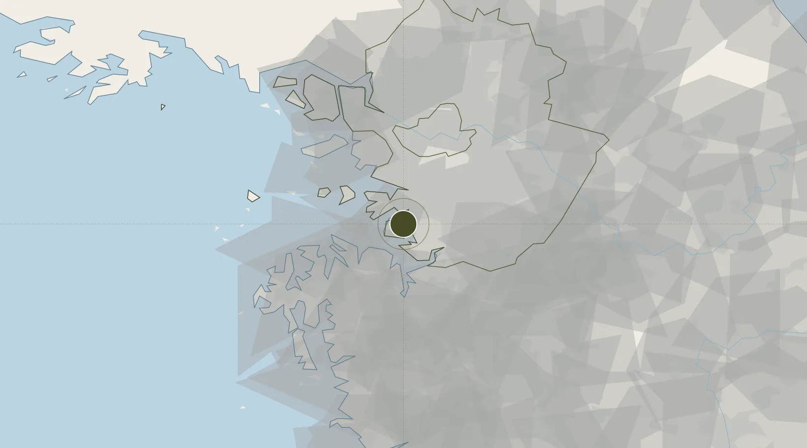
37.1056°, 126.8462°
560 ha
Zone area
12.4 km
Nearest port
16.3 km
Nearest airport

Gateway access

Nearest neighbours — logibook spatial index (haversine) over the source coordinates

Zone profile

Zone type
Diversified Zone
Open Zone Map
Region
Gyeonggi
Open Zone Map
Status
Active
Open Zone Map
Management
Public
Open Zone Map
Operator
Gyeonggi Urban Innovation Corporation
Open Zone Map
Legal framework
Foreign Investment Promotion Act: Expand Act No. 16131, Dec. 31, 2018.
Open Zone Map

Location

Location of ozm-4231
Natural Earth 10m (public domain) · Gyeonggi · ozm-4231 · 37.11, 126.85GoogleOSMYandex

Nearby Logistics Neighbours

Ports
  1. 1Pyeongtaek Hang12 km
  2. 2Daesan Hang41 km
  3. 3Inchon45 km
  4. 4Kunsan127 km
  5. 5Haeju Hang142 km
Nearest neighbours — logibook spatial index (haversine) over the source coordinates
Airports
  1. 1Osan Air Base16 km
  2. 2Suwon Airport21 km
  3. 3Camp Humphreys (A-511) Desiderio Army Airfield23 km
  4. 4Seoul Air Base (K-16)45 km
  5. 5Gimpo International Airport51 km
Nearest neighbours — logibook spatial index (haversine) over the source coordinates
Cities
  1. 1Hwaseong9 km
  2. 2Pyeongtaek16 km
  3. 3Dangjin16 km
  4. 4Songtan19 km
  5. 5Ansan24 km
Nearest neighbours — logibook spatial index (haversine) over the source coordinates
Trade Zones
  1. 1Jangan 1 Foreign Investment Zone1 km
  2. 2Balan General Industrial Complex6 km
  3. 3Mado General Industrial Complex10 km
  4. 4Asan National Industrial Complex11 km
  5. 5Hyeongok Foreign Investment Zone12 km
Nearest neighbours — logibook spatial index (haversine) over the source coordinates
DatabookThe Record of Consolidated Knowledge
South Korea beyond logistics?
Browse databook

All Sources

Trade ZonesOpen Zone Map
CC BY
Portsthe NGA World Port Index
Public domain (US gov)
AirportsOurAirports
Public domain
LocationsUN/LOCODE
UN/LOCODE — free
← South Korea trade zones