UN/LOCODE hub · South Korea
KRPTK
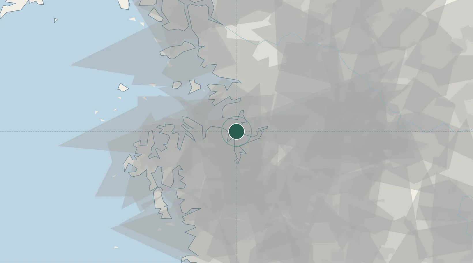
Pyeongtaek
36.9611°, 126.8433°
364,694
Population
4
Transport functions
2
Container terminals
Transport Functions
Port
Rail
Road
Multimodal
Hub Profile
Place type
Populated place
Region
Gyeonggi-do
Population
364,694
Time zone
Asia/Seoul
Elevation
14 m
Logistics facilities
3
Container terminals
2
Location
Nearby Logistics Neighbours
Cities
- 1Dangjin5 km
- 2Songtan22 km
- 3Seocheon-gun23 km
- 4Asan24 km
- 5Hwaseong25 km
Ports
- 1Daesan Hang40 km
- 2Inchon60 km
- 3Kunsan111 km
- 4Haeju Hang153 km
- 5Sokch'o Hang207 km
Airports
DatabookThe Record of Consolidated Knowledge
South Korea beyond logistics?