Transport Functions
Port
Road
Hub Profile
Place type
Populated place
Region
Gyeonggi-do
Time zone
Asia/Seoul
Elevation
127 m
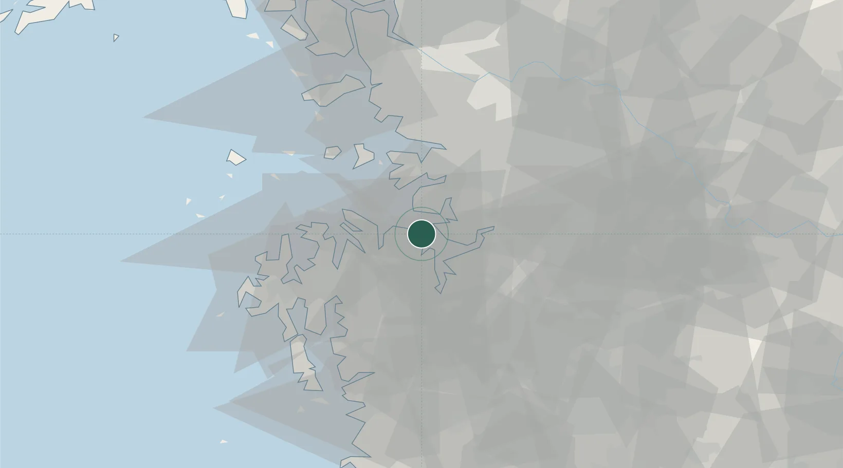
Location
Nearby Logistics Neighbours
Cities
- 1Pyeongtaek5 km
- 2Seocheon-gun21 km
- 3Hwaseong24 km
- 4Songtan26 km
- 5Asan28 km
Ports
- 1Pyeongtaek Hang4 km
- 2Daesan Hang35 km
- 3Inchon58 km
- 4Kunsan110 km
- 5Haeju Hang150 km
Airports
DatabookThe Record of Consolidated Knowledge
South Korea beyond logistics?