Transport Functions
Multimodal
Hub Profile
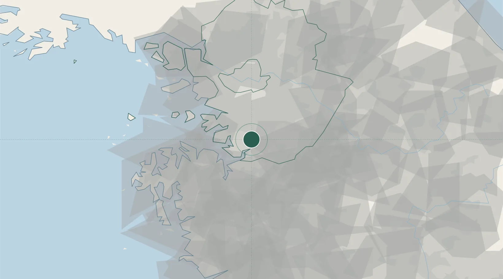
Place type
Populated place
Region
Gyeonggi-do
Time zone
Asia/Seoul
Elevation
33 m
Location
Nearby Logistics Neighbours
Cities
- 1Anseong21 km
- 2Pyeongtaek22 km
- 3Suwon22 km
- 4Hwaseong24 km
- 5Dangjin26 km
Ports
- 1Pyeongtaek Hang23 km
- 2Daesan Hang58 km
- 3Inchon59 km
- 4Kunsan127 km
- 5Haeju Hang158 km
Airports
DatabookThe Record of Consolidated Knowledge
South Korea beyond logistics?