Transport Functions
Port
Rail
Road
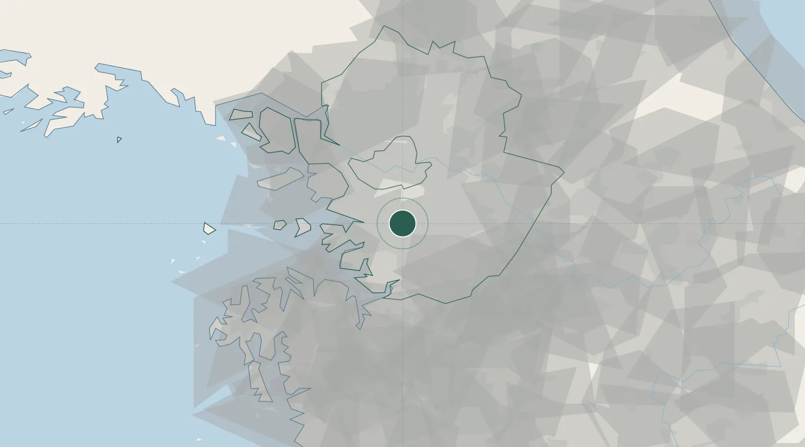
Hub Profile
Place type
Regional capital
Region
Gyeonggi-do
Population
1,191,063
Time zone
Asia/Seoul
Elevation
58 m
Logistics facilities
1
Location
Nearby Logistics Neighbours
Ports
- 1Pyeongtaek Hang37 km
- 2Inchon45 km
- 3Daesan Hang64 km
- 4Haeju Hang145 km
- 5Kunsan148 km
Airports
Trade Zones
DatabookThe Record of Consolidated Knowledge
South Korea beyond logistics?