Transport Functions
Rail
Road
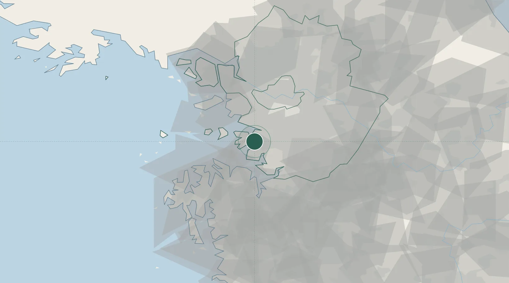
Hub Profile
Place type
Populated place
Region
Jeollanam-do
Time zone
Asia/Seoul
Elevation
94 m
Location
Nearby Logistics Neighbours
Ports
- 1Pyeongtaek Hang20 km
- 2Inchon36 km
- 3Daesan Hang41 km
- 4Haeju Hang134 km
- 5Kunsan135 km
Airports
- 1Suwon Airport18 km
- 2Osan Air Base22 km
- 3Camp Humphreys (A-511) Desiderio Army Airfield31 km
- 4Seoul Air Base (K-16)39 km
- 5Gimpo International Airport42 km
DatabookThe Record of Consolidated Knowledge
South Korea beyond logistics?