Export Processing Zone · Ethiopia

Debre Berhan Industrial Park Active
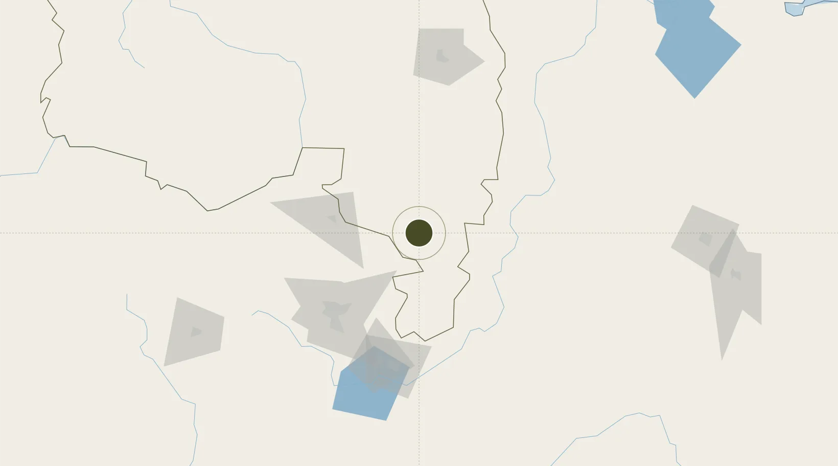
9.6584°, 39.4722°
1,100 ha
Zone area
450.5 km
Nearest port
105.7 km
Nearest airport

Gateway access

Nearest neighbours — logibook spatial index (haversine) over the source coordinates

Zone profile

Zone type
Export Processing Zone
Open Zone Map
Region
Amhara
Open Zone Map
Status
Active
Open Zone Map
Management
Public
Open Zone Map
Operator
Ethiopian Investment Commission
Open Zone Map
Legal framework
Regulation No 417/2017 Industrial Parks Council of Ministers Regulation
Open Zone Map

Location

Location of ozm-1919
Natural Earth 10m (public domain) · Amhara · ozm-1919 · 9.66, 39.47GoogleOSMYandex

Nearby Logistics Neighbours

Ports
  1. 1Doraleh451 km
  2. 2Djibouti455 km
  3. 3Assab516 km
  4. 4Al Mukha579 km
  5. 5Berbera613 km
Nearest neighbours — logibook spatial index (haversine) over the source coordinates
Airports
  1. 1Addis Ababa Bole International Airport106 km
  2. 2Harar Meda Airport117 km
  3. 3Kombolcha Airport164 km
  4. 4Aba Tenna Dejazmach Yilma International Airport261 km
  5. 5Semera Airport289 km
Nearest neighbours — logibook spatial index (haversine) over the source coordinates
Cities
  1. 1Mojo124 km
  2. 2Mojo Dry Port127 km
  3. 3Dubti290 km
  4. 4Kembolcha305 km
  5. 5Djibouti451 km
Nearest neighbours — logibook spatial index (haversine) over the source coordinates
Trade Zones
  1. 1Arerti Industrial Park82 km
  2. 2CCCC Arerti Industrial Park82 km
  3. 3Bole Lemi Industrial - Development ZonePhase 1102 km
  4. 4Addis Industrial Village Industrial Development Zone109 km
  5. 5Kilinto Industrial Development Zone111 km
Nearest neighbours — logibook spatial index (haversine) over the source coordinates
DatabookThe Record of Consolidated Knowledge
Ethiopia beyond logistics?
Browse databook

All Sources

Trade ZonesOpen Zone Map
CC BY
Portsthe NGA World Port Index
Public domain (US gov)
AirportsOurAirports
Public domain
LocationsUN/LOCODE
UN/LOCODE — free
← Ethiopia trade zones