UN/LOCODE hub · Bangladesh
BDPCR

Panchashar

23.5667°, 90.5000°
2
Transport functions

Transport Functions

Port
Multimodal
UN/LOCODE

Hub Profile

Region
40
GeoNames

Location

Location of BDPCR
Natural Earth 10m (public domain) · 40 · BDPCR · 23.57, 90.50GoogleOSMYandex

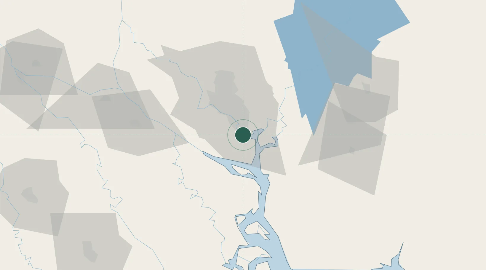
Nearby Logistics Neighbours

Cities
  1. 1Narayanganj1 km
  2. 2Munshiganj1 km
  3. 3Pangaon11 km
  4. 4Tejgaon25 km
  5. 5Savar39 km
Nearest neighbours — logibook spatial index (haversine) over the source coordinates
Ports
  1. 1Mongla153 km
  2. 2Chittagong194 km
  3. 3Calcutta249 km
  4. 4Haldia Port302 km
  5. 5Sittwe455 km
Nearest neighbours — logibook spatial index (haversine) over the source coordinates
Airports
  1. 1Hazrat Shahjalal International Airport33 km
  2. 2Agartala - Maharaja Bir Bikram Airport83 km
  3. 3Barisal Airport88 km
  4. 4Jessore Airport143 km
  5. 5Ishurdi Airport161 km
Nearest neighbours — logibook spatial index (haversine) over the source coordinates
Trade Zones
  1. 1Narayanganj Economic Zone11 km
  2. 2Narayanganj Economic Zone, Sonargaon12 km
  3. 3Sonargaon Economic Zone12 km
  4. 4Meghna Industrial Economic Zone13 km
  5. 5Adamjee Export Processing Zone13 km
Nearest neighbours — logibook spatial index (haversine) over the source coordinates
DatabookThe Record of Consolidated Knowledge
Bangladesh beyond logistics?
Browse databook

All Sources

LocationsUN/LOCODE
UN/LOCODE — free
Portsthe NGA World Port Index
Public domain (US gov)
AirportsOurAirports
Public domain
Trade Zonesthe World Bank SEZ database
CC BY 4.0
Trade ZonesOpen Zone Map
CC BY
← Bangladesh locations