Small airport · Vanuatu
Walaha AirportNVSW
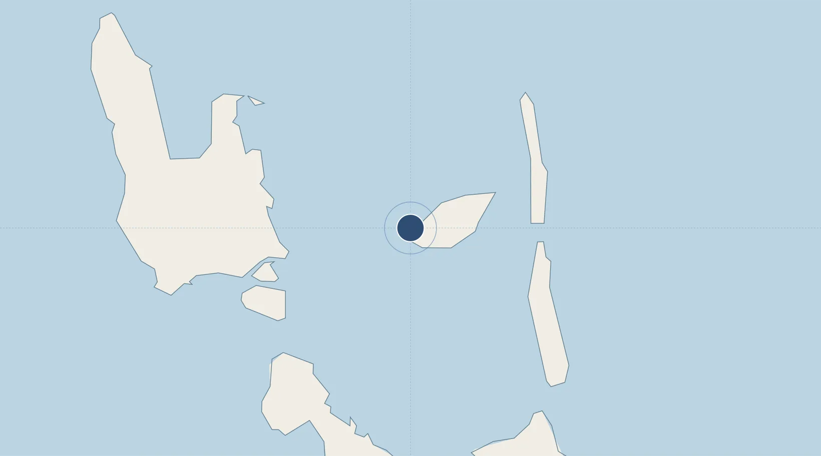
-15.4120°, 167.6910°
2,379 ft
Longest runway
1
Runways
151 ft
Elevation
Runway & Layout

Runways · 1
| Runway | Dimensions | Surface | True heading | Lit |
|---|---|---|---|---|
| 16/34 | 2,379 × 115ft | Grass | — | — |
Airport Specifications
IATA code
WLH
ICAO code
NVSW
Airport class
Small airport
Scheduled service
Yes
Runway surface
Grass
Served city
Walaha
Location
Nearby Logistics Neighbours
Airports
- 1Longana Airport32 km
- 2Sara Airport50 km
- 3Santo Pekoa International Airport52 km
- 4Lonorore Airport72 km
- 5Norsup Airport81 km
Cities
- 1Luganville58 km
- 2Havannah Harbour248 km
- 3Nemba560 km
- 4Lata561 km
- 5Lifou620 km
Ports
- 1Luganville57 km
- 2Port Vila267 km
- 3Baie Ugue677 km
- 4Baie De Kouaoua693 km
- 5Noumea775 km
Trade Zones
- 1Vanuatu Economic Development Zone57 km
- 2Lautoka Special Zone1067 km
- 3Tulagi Island Special Economic Zone1079 km
- 4Rotuma-Kadavu Tax-Free Region1182 km
- 5Kalabu Tax Free Zone1187 km
DatabookThe Record of Consolidated Knowledge
Vanuatu beyond logistics?