Transport Functions
Port
Hub Profile
Place type
Provincial seat
Region
North Province
Population
890
Time zone
Pacific/Noumea
Elevation
8 m
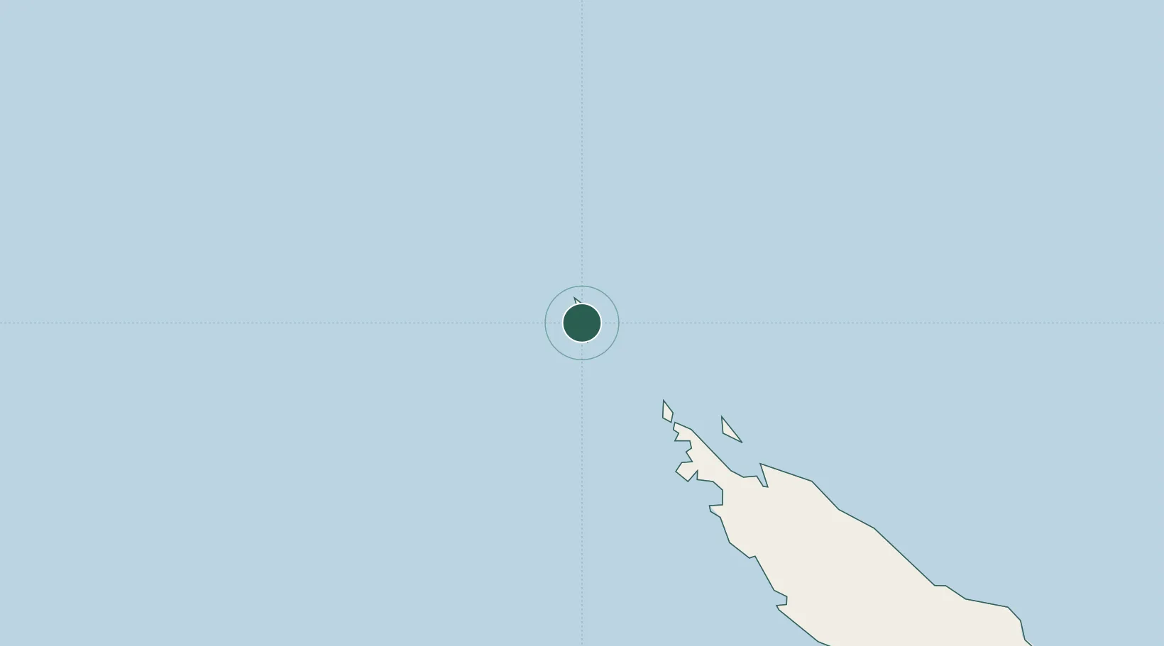
Location
Nearby Logistics Neighbours
Cities
- 1Paagoumène103 km
- 2Teoudie141 km
- 3Vavouto178 km
- 4Népoui227 km
- 5Poro278 km
Ports
- 1Baie Ugue254 km
- 2Baie De Kouaoua292 km
- 3Noumea406 km
- 4Port Vila539 km
- 5Luganville597 km
Airports
- 1Île Art - Waala Airport1 km
- 2Koumac Airport112 km
- 3Koné Airport194 km
- 4Touho Airport206 km
- 5Ouvéa Airport322 km
Trade Zones
- 1Vanuatu Economic Development Zone598 km
- 2Tulagi Island Special Economic Zone1239 km
- 3Lautoka Special Zone1470 km
- 4Rotuma-Kadavu Tax-Free Region1563 km
- 5Kalabu Tax Free Zone1570 km
DatabookThe Record of Consolidated Knowledge
New Caledonia beyond logistics?