Transport Functions
Port
Airport
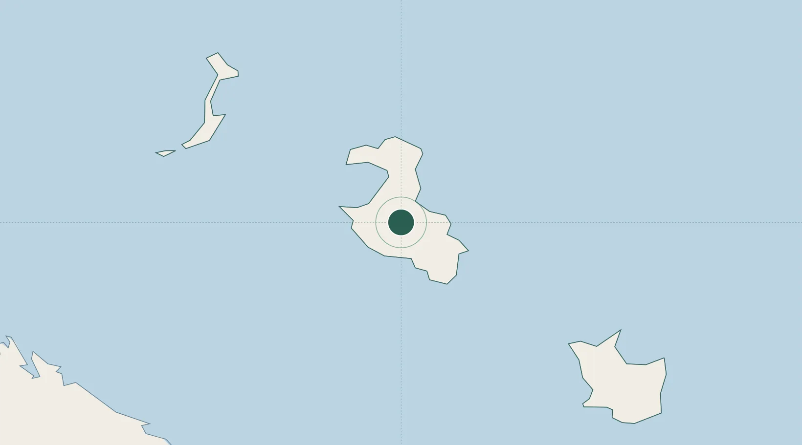
Location
Nearby Logistics Neighbours
Cities
- 1Maré98 km
- 2Nakéty140 km
- 3Kouaoua153 km
- 4Prony156 km
- 5Le Mont-Dore161 km
Ports
- 1Baie De Kouaoua154 km
- 2Noumea168 km
- 3Baie Ugue176 km
- 4Port Vila377 km
- 5Luganville606 km
Airports
- 1Lifou Airport21 km
- 2Tiga Airport61 km
- 3Ouvéa Airport78 km
- 4Maré Airport101 km
- 5La Tontouta International Airport157 km
Trade Zones
- 1Vanuatu Economic Development Zone607 km
- 2Lautoka Special Zone1133 km
- 3Rotuma-Kadavu Tax-Free Region1213 km
- 4Kalabu Tax Free Zone1221 km
- 5Nausori-Ba Tax-Free Region1227 km
DatabookThe Record of Consolidated Knowledge
New Caledonia beyond logistics?