Small airport · Vanuatu
Longana AirportNVSG
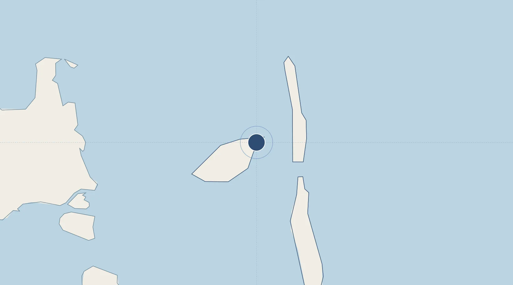
-15.3067°, 167.9670°
2,887 ft
Longest runway
1
Runways
167 ft
Elevation
Runway & Layout

Runways · 1
| Runway | Dimensions | Surface | True heading | Lit |
|---|---|---|---|---|
| 04/22 | 2,887 × 92ft | Grass | — | — |
Airport Specifications
IATA code
LOD
ICAO code
NVSG
Airport class
Small airport
Scheduled service
Yes
Runway surface
Grass
Served city
Longana
Location
Nearby Logistics Neighbours
Airports
- 1Sara Airport27 km
- 2Walaha Airport32 km
- 3Lonorore Airport66 km
- 4Santo Pekoa International Airport83 km
- 5Norsup Airport105 km
Cities
- 1Luganville89 km
- 2Havannah Harbour255 km
- 3Nemba561 km
- 4Lata562 km
- 5Lifou634 km
Ports
- 1Luganville89 km
- 2Port Vila272 km
- 3Baie Ugue698 km
- 4Baie De Kouaoua713 km
- 5Noumea792 km
Trade Zones
- 1Vanuatu Economic Development Zone89 km
- 2Lautoka Special Zone1042 km
- 3Tulagi Island Special Economic Zone1095 km
- 4Rotuma-Kadavu Tax-Free Region1157 km
- 5Kalabu Tax Free Zone1162 km
DatabookThe Record of Consolidated Knowledge
Vanuatu beyond logistics?