Seaport · New Caledonia
NoumeaNCNOU
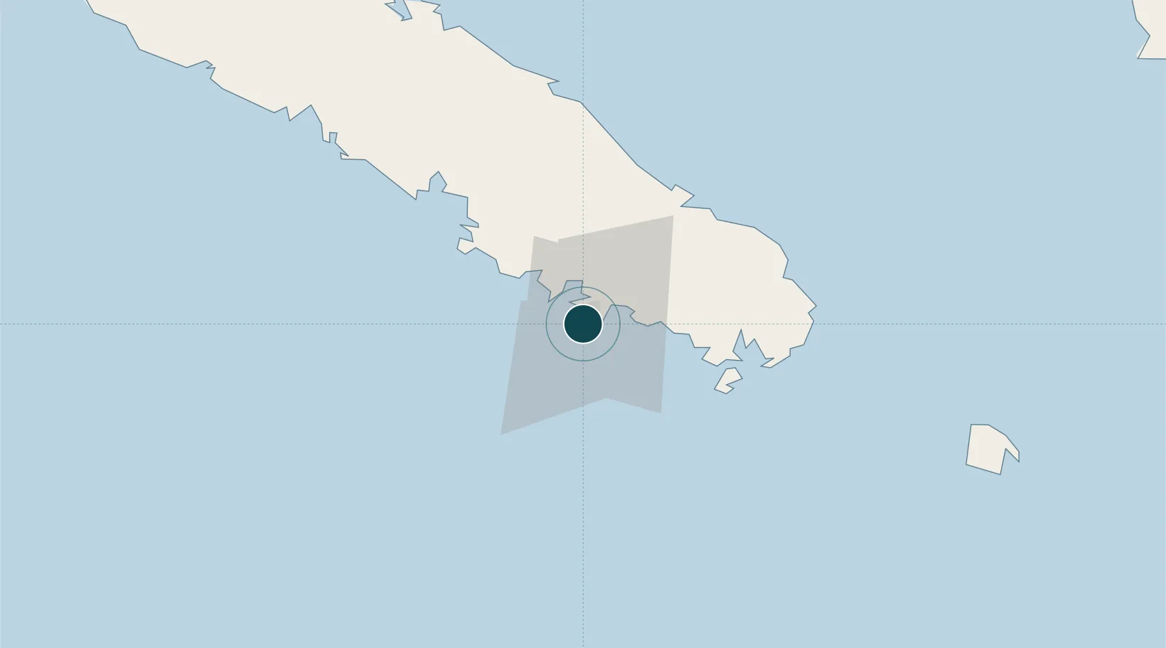
-22.2833°, 166.4333°
7.9 m
Channel depth
1
Container terminals
96.8
Port liner connectivity
Channel & Berth Profile
Pilotage, Tugs & Services
Pilotage compulsoryYES
Pilotage availableYES
Pilotage advisableYES
Tug assistanceYES
Shore powerYES
Potable waterYES
Diesel bunkersYES
MedicalYES
Garbage disposalYES
Facilities & Capabilities
Container—
Ro-Ro—
Liquid bulk—
Dry bulk—
Oil terminal—
Break bulk—
Dry dock—
RepairsNO
BunkeringYES
Rail link—
Dangerous cargo—
ISPS security—
Harbour Specifications
Harbour size
Small
Harbour type
Coastal (Natural)
Shelter
Excellent
Water body
Coral Sea; South Pacific Ocean
Tidal range
1 m
Pilotage
Yes
Liner Connectivity
96.8
PLSCI
Port Liner Shipping Connectivity Index for Noumea, as published by UNCTAD for the latest available quarter. Higher values indicate stronger scheduled liner-shipping integration.
Shown relative to the highest per-port PLSCI in the dataset (1,657.9).
Location
Container Terminals · 1
PORT OF NOUMEA
PON PORT AUTONOME NOUVELLE CALEDONIE
Nearby Logistics Neighbours
Ports
- 1Baie De Kouaoua119 km
- 2Baie Ugue156 km
- 3Port Vila543 km
- 4Luganville756 km
- 5Lautoka Harbor1263 km
Cities
- 1Ducos6 km
- 2Le Mont-Dore15 km
- 3Prony40 km
- 4Nakéty91 km
- 5Kouaoua116 km
Airports
- 1Nouméa Magenta Airport5 km
- 2La Tontouta International Airport38 km
- 3Île des Pins Airport111 km
- 4Ouvéa Airport183 km
- 5Lifou Airport187 km
Trade Zones
- 1Vanuatu Economic Development Zone757 km
- 2Lautoka Special Zone1261 km
- 3Rotuma-Kadavu Tax-Free Region1332 km
- 4Kalabu Tax Free Zone1340 km
- 5Nausori-Ba Tax-Free Region1347 km
DatabookThe Record of Consolidated Knowledge
New Caledonia beyond logistics?