Medium airport · Vanuatu
Santo Pekoa International AirportNVSS
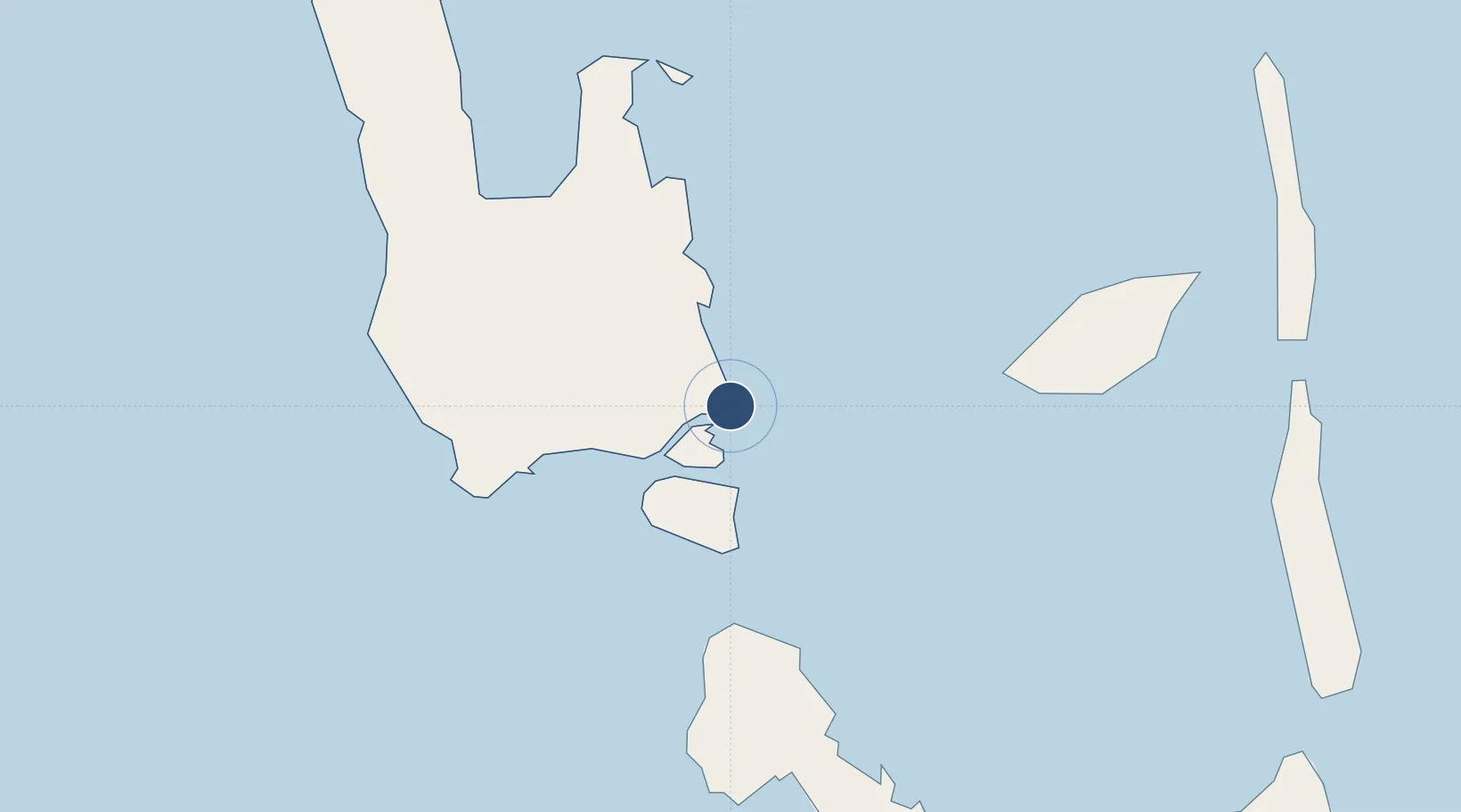
-15.5050°, 167.2200°
6,523 ft
Longest runway
1
Runways
184 ft
Elevation
Runway & Layout

Radio Frequencies
CTAF
118.1 MHz
FSS
655.3 MHz
PORT VILA FLT SVC
Navaids
SON NDB-DME Santo 0.41 MHz
Runways · 1
| Runway | Dimensions | Surface | True heading | Lit |
|---|---|---|---|---|
| 12/30 | 6,523 × 98ft | Asphalt | 129° | ✓ |
Airport Specifications
IATA code
SON
ICAO code
NVSS
Airport class
Medium airport
Scheduled service
Yes
Runway surface
Asphalt
Served city
Luganville
Location
Nearby Logistics Neighbours
Airports
- 1Walaha Airport52 km
- 2Norsup Airport67 km
- 3Longana Airport83 km
- 4North West Santo Airport99 km
- 5Sara Airport100 km
Cities
- 1Luganville7 km
- 2Havannah Harbour255 km
- 3Nemba552 km
- 4Lata554 km
- 5Wala602 km
Ports
- 1Luganville6 km
- 2Port Vila274 km
- 3Baie Ugue652 km
- 4Baie De Kouaoua670 km
- 5Noumea758 km
Trade Zones
- 1Vanuatu Economic Development Zone6 km
- 2Tulagi Island Special Economic Zone1048 km
- 3Lautoka Special Zone1114 km
- 4Rotuma-Kadavu Tax-Free Region1227 km
- 5Kalabu Tax Free Zone1232 km
DatabookThe Record of Consolidated Knowledge
Vanuatu beyond logistics?