Small airport · Vanuatu
Norsup AirportNVSP
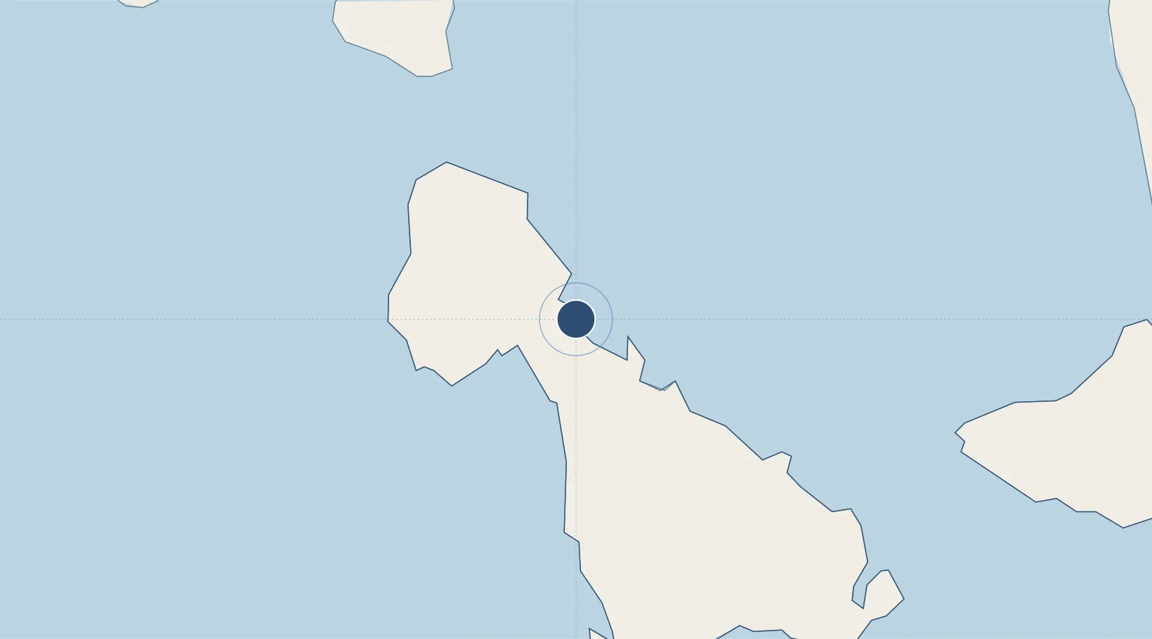
-16.0797°, 167.4010°
2,972 ft
Longest runway
1
Runways
23 ft
Elevation
Runway & Layout

Runways · 1
| Runway | Dimensions | Surface | True heading | Lit |
|---|---|---|---|---|
| 13/31 | 2,972 × 49ft | Asphalt | — | — |
Airport Specifications
IATA code
NUS
ICAO code
NVSP
Airport class
Small airport
Scheduled service
Yes
Runway surface
Asphalt
Served city
Norsup
Location
Nearby Logistics Neighbours
Airports
- 1Craig Cove Airport60 km
- 2Lamap Airport62 km
- 3Santo Pekoa International Airport67 km
- 4Walaha Airport81 km
- 5Lonorore Airport86 km
Cities
- 1Luganville66 km
- 2Havannah Harbour189 km
- 3Lifou544 km
- 4Wala567 km
- 5Paagoumène595 km
Ports
- 1Luganville67 km
- 2Port Vila208 km
- 3Baie Ugue597 km
- 4Baie De Kouaoua613 km
- 5Noumea697 km
Trade Zones
- 1Vanuatu Economic Development Zone68 km
- 2Lautoka Special Zone1081 km
- 3Tulagi Island Special Economic Zone1106 km
- 4Rotuma-Kadavu Tax-Free Region1193 km
- 5Kalabu Tax Free Zone1199 km
DatabookThe Record of Consolidated Knowledge
Vanuatu beyond logistics?