Small airport · Vanuatu
North West Santo AirportNVSZ
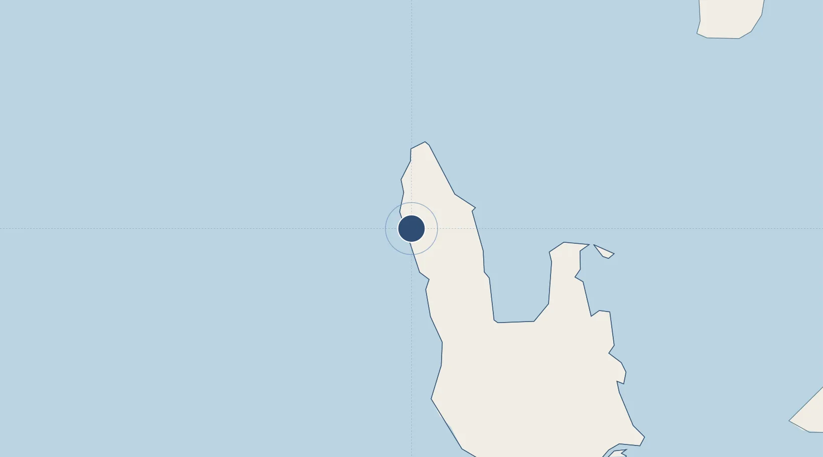
-14.8817°, 166.5580°
2,362 ft
Longest runway
1
Runways
50 ft
Elevation
Runway & Layout

Runways · 1
| Runway | Dimensions | Surface | True heading | Lit |
|---|---|---|---|---|
| 14/32 | 2,362 × 82ft | Grass | — | — |
Airport Specifications
IATA code
OLJ
ICAO code
NVSZ
Airport class
Small airport
Scheduled service
Yes
Runway surface
Grass
Served city
Olpoi
Location
Nearby Logistics Neighbours
Airports
- 1Santo Pekoa International Airport99 km
- 2Gaua Island Airport133 km
- 3Walaha Airport135 km
- 4Sola Airport156 km
- 5Longana Airport159 km
Cities
- 1Luganville98 km
- 2Havannah Harbour350 km
- 3Nemba467 km
- 4Lata470 km
- 5Wala620 km
Ports
- 1Luganville96 km
- 2Port Vila369 km
- 3Baie Ugue705 km
- 4Baie De Kouaoua727 km
- 5Noumea823 km
Trade Zones
- 1Vanuatu Economic Development Zone95 km
- 2Tulagi Island Special Economic Zone949 km
- 3Lautoka Special Zone1200 km
- 4Rotuma-Kadavu Tax-Free Region1315 km
- 5Kalabu Tax Free Zone1320 km
DatabookThe Record of Consolidated Knowledge
Vanuatu beyond logistics?