Transport Functions
Port
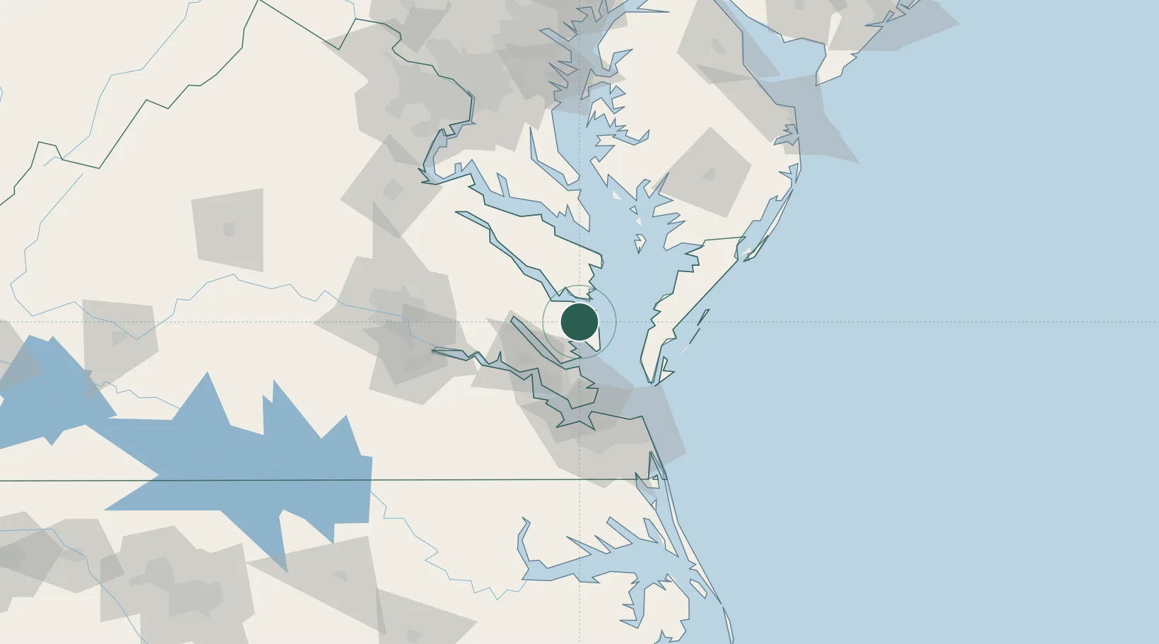
Hub Profile
Place type
Populated place
Region
Virginia
Time zone
America/New_York
Elevation
10 m
Location
Nearby Logistics Neighbours
Cities
- 1Locust Hill, Middlesex16 km
- 2Gloucester16 km
- 3New Point19 km
- 4Jamaica35 km
- 5Wicomico Church35 km
Ports
- 1Yorktown31 km
- 2West Point37 km
- 3Cape Charles42 km
- 4Newport News60 km
- 5Piney Point72 km
Airports
Trade Zones
DatabookThe Record of Consolidated Knowledge
United States beyond logistics?