Transport Functions
Road
Multimodal
Hub Profile
Place type
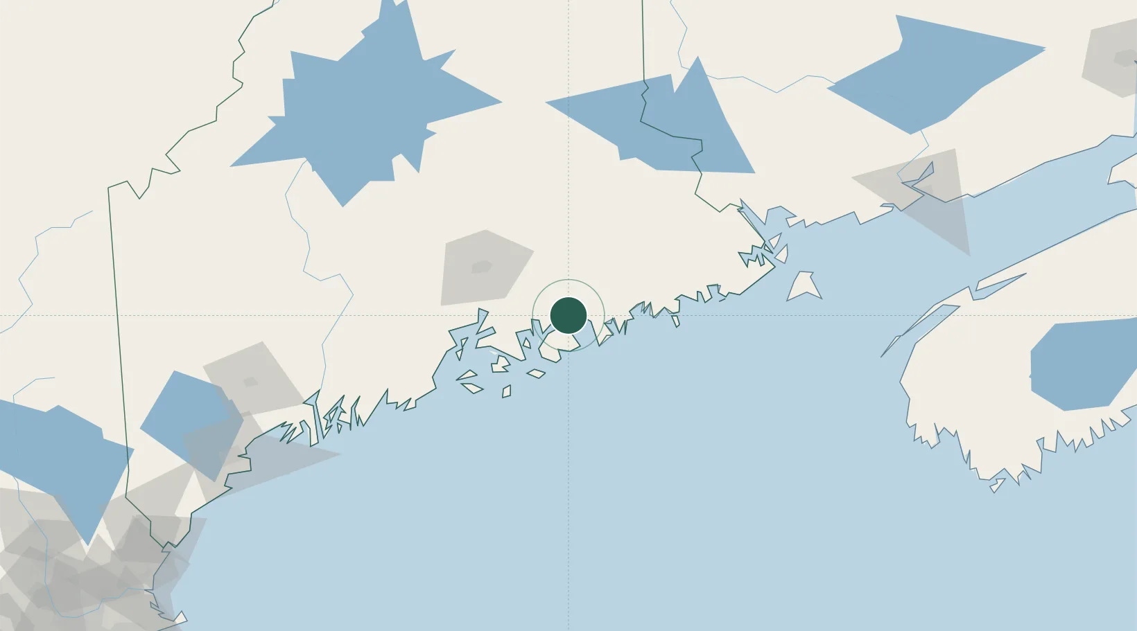
Populated place
Region
Maine
Population
2,232
Time zone
America/New_York
Elevation
11 m
Location
Nearby Logistics Neighbours
Cities
- 1Ellsworth13 km
- 2Cherryfield28 km
- 3Harrington36 km
- 4Addison41 km
- 5Little Deer Isle43 km
Ports
- 1Sorrento8 km
- 2Ellsworth14 km
- 3Bar Harbor15 km
- 4Mount Desert18 km
- 5Winter Harbor20 km
Airports
- 1Hancock County-Bar Harbor Airport12 km
- 2Bangor International Airport56 km
- 3Islesboro Airport58 km
- 4Witherspoons Airport64 km
- 5Vinalhaven Airport67 km
Trade Zones
- 1FTZ No. 058 Bangor55 km
- 2FTZ No. 186 Waterville115 km
- 3FTZ No. 263 Auburn163 km
- 4Saint John191 km
- 5FTZ No. 081 Portsmouth264 km
DatabookThe Record of Consolidated Knowledge
United States beyond logistics?