Channel & Berth Profile
Pilotage, Tugs & Services
Pilotage compulsoryNO
Pilotage availableYES
Tug assistanceNO
Salvage tugsNO
Potable waterYES
Diesel bunkersYES
Facilities & Capabilities
Container—
Ro-Ro—
Liquid bulk—
Dry bulk—
Oil terminal—
Break bulk—
Dry dock—
RepairsNO
BunkeringYES
Rail link—
Dangerous cargo—
ISPS security—
Harbour Specifications
Harbour size
Very Small
Harbour type
Coastal (Natural)
Shelter
Good
Water body
North Atlantic Ocean
Tidal range
3 m
Overhead limit
No
Pilotage
No
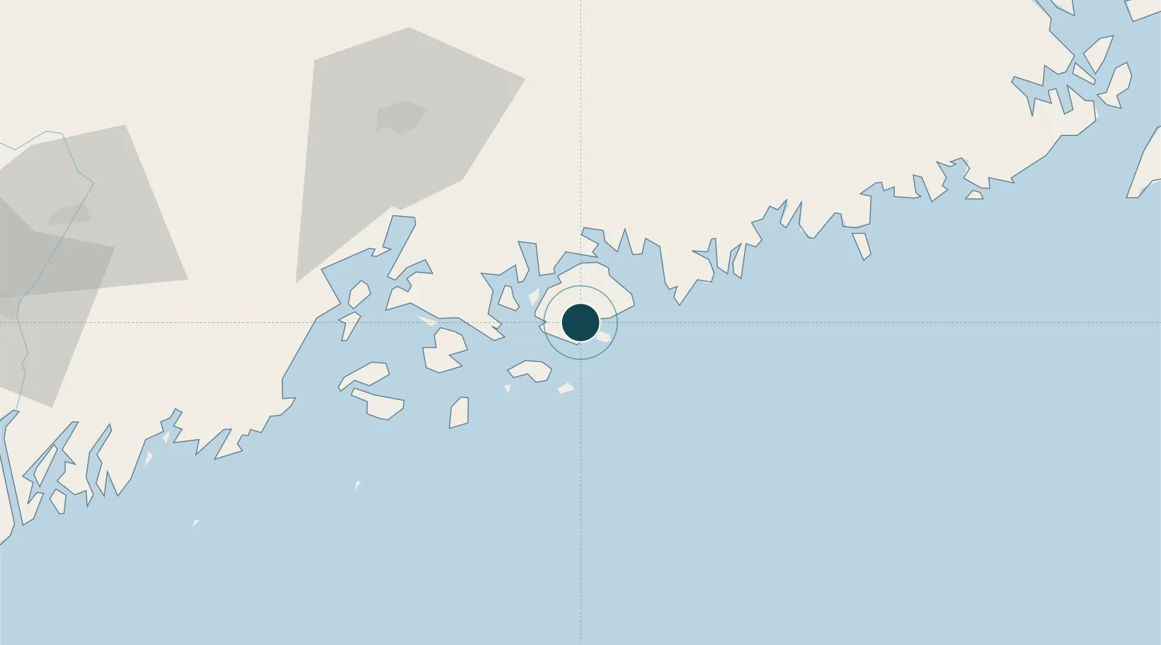
Location
Nearby Logistics Neighbours
Ports
- 1Bass Harbor6 km
- 2Mount Desert9 km
- 3Bar Harbor15 km
- 4Frenchboro19 km
- 5Swans Island20 km
Cities
- 1Hancock27 km
- 2Ellsworth29 km
- 3Little Deer Isle29 km
- 4Cherryfield47 km
- 5Harrington54 km
Airports
- 1Hancock County-Bar Harbor Airport19 km
- 2Vinalhaven Airport46 km
- 3Witherspoons Airport47 km
- 4Islesboro Airport47 km
- 5Matinicus Island Airport65 km
Trade Zones
- 1FTZ No. 058 Bangor71 km
- 2FTZ No. 186 Waterville114 km
- 3FTZ No. 263 Auburn152 km
- 4Saint John209 km
- 5FTZ No. 081 Portsmouth245 km
DatabookThe Record of Consolidated Knowledge
United States beyond logistics?