UN/LOCODE hub · United States
USLHY

Locust Hill, Middlesex

37.6000°, -76.5167°
2
Transport functions

Transport Functions

Road
Multimodal
UN/LOCODE

Hub Profile

Region
VA
GeoNames

Location

Location of USLHY
Natural Earth 10m (public domain) · VA · USLHY · 37.60, -76.52GoogleOSMYandex

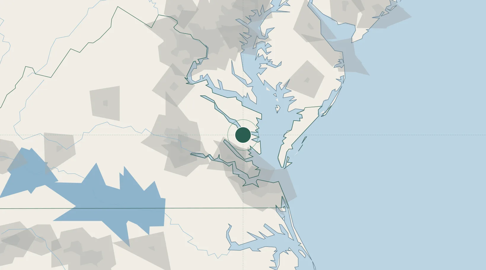
Nearby Logistics Neighbours

Cities
  1. 1Cobbs Creek16 km
  2. 2Jamaica18 km
  3. 3Gloucester22 km
  4. 4Wicomico Church26 km
  5. 5New Point35 km
Nearest neighbours — logibook spatial index (haversine) over the source coordinates
Ports
  1. 1West Point26 km
  2. 2Yorktown41 km
  3. 3Cape Charles58 km
  4. 4Piney Point59 km
  5. 5Newport News71 km
Nearest neighbours — logibook spatial index (haversine) over the source coordinates
Airports
  1. 1Newport News Williamsburg International Airport52 km
  2. 2Felker Army Air Field53 km
  3. 3Langley Air Force Base59 km
  4. 4Richmond International Airport72 km
  5. 5Norfolk Naval Station (Chambers Field)76 km
Nearest neighbours — logibook spatial index (haversine) over the source coordinates
Trade Zones
  1. 1FTZ No. 020 Suffolk76 km
  2. 2FTZ No. 207 Richmond93 km
  3. 3FTZ No. 063 PrInce Georges County148 km
  4. 4FTZ No. 185 Culpeper County169 km
  5. 5FTZ No. 137 Washington Dulles International Airport172 km
Nearest neighbours — logibook spatial index (haversine) over the source coordinates
DatabookThe Record of Consolidated Knowledge
United States beyond logistics?
Browse databook

All Sources

LocationsUN/LOCODE
UN/LOCODE — free
Portsthe NGA World Port Index
Public domain (US gov)
AirportsOurAirports
Public domain
Trade Zonesthe World Bank SEZ database
CC BY 4.0
Trade ZonesOpen Zone Map
CC BY
← United States locations