Transport Functions
Port
Hub Profile
Place type
Populated place
Region
Virginia
Time zone
America/New_York
Elevation
32 m
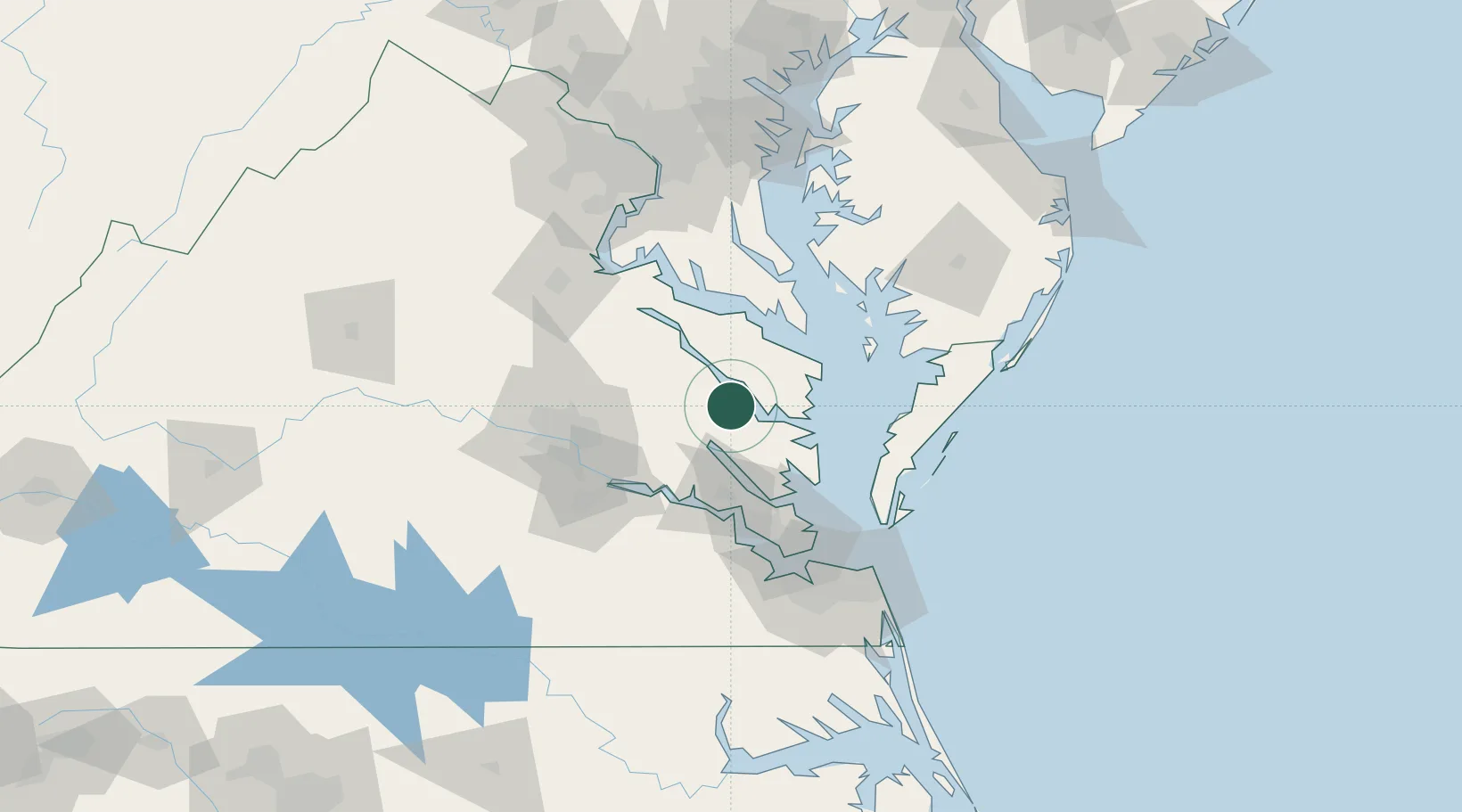
Location
Nearby Logistics Neighbours
Cities
- 1Locust Hill, Middlesex18 km
- 2King William28 km
- 3Wicomico Church28 km
- 4Walkerton29 km
- 5Warsaw31 km
Ports
- 1West Point21 km
- 2Piney Point50 km
- 3Yorktown54 km
- 4Richmond67 km
- 5Solomons Island72 km
Airports
Trade Zones
DatabookThe Record of Consolidated Knowledge
United States beyond logistics?