Small airport · United States
Stebbins AirportWBB
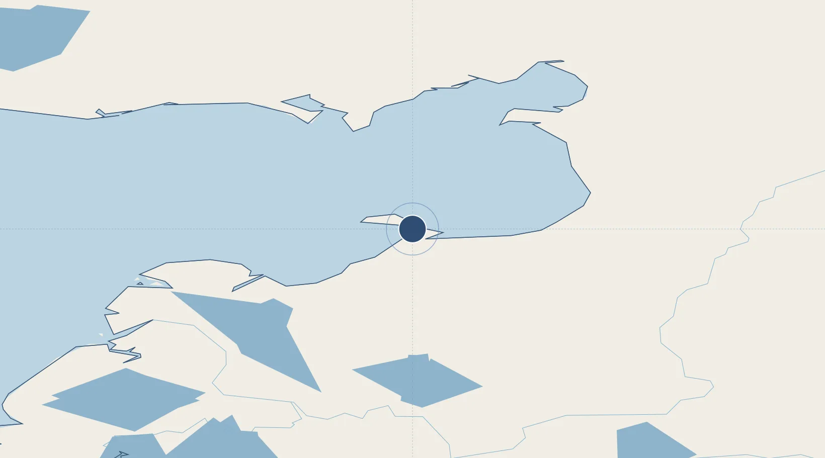
63.5160°, -162.2780°
2,999 ft
Longest runway
1
Runways
14 ft
Elevation
Runway & Layout

Runways · 1
| Runway | Dimensions | Surface | True heading | Lit |
|---|---|---|---|---|
| 05/23 | 2,999 × 60ft | GRVL-G | 064° | — |
Airport Specifications
IATA code
WBB
ICAO code
WBB
Airport class
Small airport
Scheduled service
Yes
Runway surface
GRVL-G
Served city
Stebbins
Location
Nearby Logistics Neighbours
Airports
- 1St Michael Airport9 km
- 2Kotlik Airport83 km
- 3Unalakleet Airport84 km
- 4Shaktoolik Airport108 km
- 5Golovin Airport120 km
Cities
- 1Sledge Island219 km
- 2Uelen462 km
- 3Lavrentiya475 km
- 4Provideniya, Bukhta546 km
- 5Susitna642 km
Ports
- 1St. Michael13 km
- 2Kotlik83 km
- 3Unalakleet84 km
- 4Solomon155 km
- 5Nome188 km
Trade Zones
- 1FTZ No. 160 Anchorage686 km
- 2FTZ No. 195 Fairbanks719 km
- 3FTZ No. 232 Kodiak820 km
- 4FTZ No. 108 Valdez861 km
- 5PrInce George Logistics Park2468 km
DatabookThe Record of Consolidated Knowledge
United States beyond logistics?